Toggle navigation
LMEC Home
Exhibitions
Georeferencing
Tools for Teachers
Collections
My Favorites
Sign Up / Log In
Search
Search the map portal
Map Collection
Map Collection
Map Sets
Search
Search
Search for
Search In
All Fields
Creator
Title
Subject
Place
Search All Digital Collections
Advanced Search
8662 Results
My Search
Start Over
More Like
commonwealth:cj82m439q
Remove constraint More Like: commonwealth:cj82m439q
Filter your Search
Place
North and Central America
5,881
United States
4,799
Massachusetts
2,056
Europe
1,359
Suffolk (county)
1,038
Boston
1,011
Canada
453
Asia
423
more
Place
»
Topic
Boston (Mass.)--Maps
580
United States--Maps
278
North America--Maps--Early works to 1800
180
Real property--Massachusetts--Boston--Maps
175
Massachusetts--Maps
160
Landowners--Massachusetts--Boston--Maps
133
New England--Maps
101
Europe--Maps
78
more
Topic
»
Date
Date range begin
–
Date range end
Current results range from
1482
to
2023
View distribution
Creator
United States. Hydrographic Office
594
O.H. Bailey & Co
148
Des Barres, Joseph F. W. (Joseph Frederick Wallet), 1722-1824
123
United States. Post Office Dept
120
Ptolemy, 2nd cent
100
Walling, Henry Francis, 1825-1888
94
Jefferys, Thomas, -1771
92
Geological Survey (U.S.)
86
more
Creator
»
Format
Maps/Atlases
8,603
Manuscripts
217
Prints
56
Books
36
Objects/Artifacts
10
Drawings/Illustrations
8
Posters
4
Georeferenced
Yes
872
No
7,790
Collection
Norman B. Leventhal Map & Education Center Collection
8,577
Boston and New England Maps
2,211
Urban Maps
1,940
Maritime Charts and Atlases
1,081
American Revolutionary War-Era Maps
686
Boston Redevelopment Authority Collection
87
New York Public Library Collection
36
Richard H. Brown Revolutionary War Map Collection at Mount Vernon
21
more
Collection
»
Available to use
No known restrictions
8,427
Creative Commons license
120
Search Constraints
Sort by relevance
relevance
title
date (asc)
date (desc)
Number of results to display per page
20 per page
10
per page
20
per page
50
per page
100
per page
View results as:
grid view
map view
Search Results
161.
A new and exact map of the dominions of the King of Great Britain on ye continent of North America : containing Newfoundland,...
162.
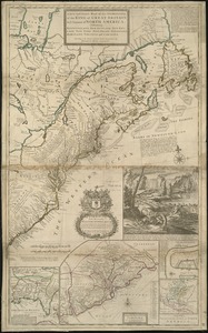
A new map of North America : with the British, French, Spanish, Dutch & Danish dominions on that great continent, and the West...
163.
A new map of North America
164.
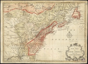
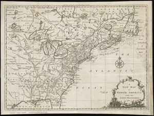
A new map of North America from the latest discoveries
165.
A new map of North America from the latest discoveries
166.
A new map of North America shewing its principal divisions, chief cities, townes, rivers, mountains &c
167.
A New map of North America with the West India Islands : divided according to the preliminary articles of peace, signed at...
168.
A new map of the English empire in America viz. Virginia, Maryland, Carolina, Pennsylvania, New York, New Iarsey, New England,...
169.
A new map of the most considerable plantations of the English in America
170.
A new map of the north parts of America claimed by France under ye names of Louisiana, Mississipi, Canada, and New France with...
171.
A new map of the north parts of America claimed by France under ye names of Louisiana, Mississipi, Canada, and New France with...
172.
A new map of the United States of North America with the British dominions on that continent &c
173.
A new map of ye north parts of America claimed by France under ye names of Louisiana, Mississipi, Canada & new France with the...
174.
Nieuwe kaart van de Grootbrittannische volkplantingen in Noord America : waar in tevens de Fransche bezittingen en de Landen,...
175.
North America : performed under the patronage of Louis Duke of Orleans, First Prince of the Blood
176.
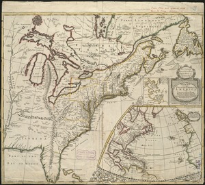
North America : from the French of Mr. d'Anville, improved with the back settlements of Virginia and course of Ohio,...
177.
North America : corrected from the observation communicated to the Royal Society at London and the Royal Academy at Paris
178.
North America
179.
North America
180.
North America
‹ Prev
Next ›
1
2
…
5
6
7
8
9
10
11
12
13
…
433
434