Toggle navigation
LMEC Home
Exhibitions
Georeferencing
Tools for Teachers
Collections
My Favorites
Sign Up / Log In
Search
Search the map portal
Map Collection
Map Collection
Map Sets
Search
Search
Search for
Search In
All Fields
Creator
Title
Subject
Place
Search All Digital Collections
Advanced Search
8651 Results
My Search
Start Over
More Like
commonwealth:cj82kv71n
Remove constraint More Like: commonwealth:cj82kv71n
Filter your Search
Place
North and Central America
5,890
United States
4,809
Massachusetts
2,072
Europe
1,392
Suffolk (county)
1,041
Boston
1,014
Canada
449
Asia
437
more
Place
»
Topic
Boston (Mass.)--Maps
582
United States--Maps
279
Real property--Massachusetts--Boston--Maps
175
Massachusetts--Maps
161
Landowners--Massachusetts--Boston--Maps
133
North America--Maps--Early works to 1800
103
New England--Maps
101
Europe--Maps
79
more
Topic
»
Date
Date range begin
–
Date range end
Current results range from
1482
to
2023
View distribution
Creator
United States. Hydrographic Office
595
O.H. Bailey & Co
148
Des Barres, Joseph F. W. (Joseph Frederick Wallet), 1722-1824
123
United States. Post Office Dept
120
Ptolemy, 2nd cent
100
Walling, Henry Francis, 1825-1888
94
Geological Survey (U.S.)
86
Jefferys, Thomas, -1771
85
more
Creator
»
Format
Maps/Atlases
8,591
Manuscripts
215
Prints
56
Books
36
Objects/Artifacts
10
Drawings/Illustrations
8
Posters
5
Georeferenced
Yes
869
No
7,782
Collection
Norman B. Leventhal Map & Education Center Collection
8,651
Boston and New England Maps
2,225
Urban Maps
1,992
Maritime Charts and Atlases
1,087
American Revolutionary War-Era Maps
615
Boston Redevelopment Authority Collection
87
Mapping Boston Collection
5
Available to use
No known restrictions
8,504
Creative Commons license
52
Search Constraints
Sort by relevance
relevance
title
date (asc)
date (desc)
Number of results to display per page
20 per page
10
per page
20
per page
50
per page
100
per page
View results as:
grid view
map view
Search Results
1.
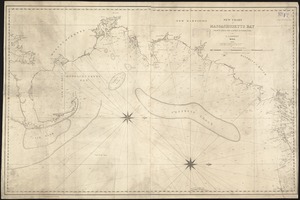
Cape Cod Bay
2.
Boston Bay and approaches
3.
Cape Cod Bay, Massachusetts
4.
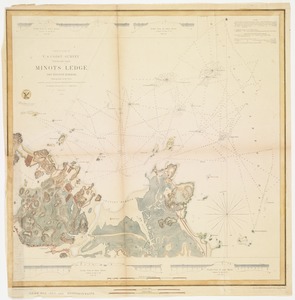
Minots Ledge off Boston Harbor : showing the proposed site of a light house
5.
A new chart of Massachusetts Bay drawn from the latest authorities
6.
Boston Harbor
7.
Boston Harbor, Massachusetts
8.
Boston Harbor, Massachusetts
9.
Eldridge's new chart of Boston Harbor : compiled from the latest surveys
10.
New chart of Boston Harbor
11.
Boston Harbor, Massachusetts
12.
Boston Harbor, Massachusetts
13.
Boston Harbor, Massachusetts
14.
Carte de la Baye de Baston : située dans la Nouvelle Angleterre
15.
The 100th anniversary map of Abraham Lincoln's visit to Massachusetts, September 11-23, 1848
16.
1630 shoreline
17.
1879. Progress map of the U.S. Geographical Surveys west of the 100th Meridian : prepared under the direction of 1st Lieut....
18.
1903 Map of Salem and surrounding places
19.
19th annual convention of the National Association of Real Estate Boards : at Tulsa, June 7 to June 11 in 1926
20.
2005 significant U.S. hurricane strikes
‹ Prev
Next ›
1
2
3
4
5
…
432
433