Toggle navigation
LMEC Home
Exhibitions
Georeferencing
Tools for Teachers
Collections
My Favorites
Sign Up / Log In
Search
Search the map portal
Map Collection
Map Collection
Map Sets
Search
Search
Search for
Search In
All Fields
Creator
Title
Subject
Place
Search All Digital Collections
Advanced Search
8802 Results
My Search
Start Over
More Like
commonwealth:cj82kt994
Remove constraint More Like: commonwealth:cj82kt994
Filter your Search
Place
North and Central America
6,033
United States
4,930
Massachusetts
2,152
Europe
1,396
Suffolk (county)
1,049
Boston
1,022
Canada
456
Asia
438
more
Place
»
Topic
Boston (Mass.)--Maps
592
United States--Maps
282
Massachusetts--Maps
235
Real property--Massachusetts--Boston--Maps
175
Landowners--Massachusetts--Boston--Maps
133
New England--Maps
127
North America--Maps--Early works to 1800
103
Europe--Maps
79
more
Topic
»
Date
Date range begin
–
Date range end
Current results range from
1482
to
2023
View distribution
Creator
United States. Hydrographic Office
595
O.H. Bailey & Co
148
Des Barres, Joseph F. W. (Joseph Frederick Wallet), 1722-1824
123
United States. Post Office Dept
120
Ptolemy, 2nd cent
100
Walling, Henry Francis, 1825-1888
95
Geological Survey (U.S.)
93
Jefferys, Thomas, -1771
86
more
Creator
»
Format
Maps/Atlases
8,741
Manuscripts
217
Prints
56
Books
36
Objects/Artifacts
10
Drawings/Illustrations
8
Posters
5
Ephemera
1
Georeferenced
Yes
882
No
7,920
Collection
Norman B. Leventhal Map & Education Center Collection
8,742
Boston and New England Maps
2,286
Urban Maps
2,024
Maritime Charts and Atlases
1,083
American Revolutionary War-Era Maps
660
Boston Redevelopment Authority Collection
90
David Judkins Weaver Papers
23
Applied Geographics, Inc. Records
20
more
Collection
»
Available to use
No known restrictions
8,600
Creative Commons license
54
Search Constraints
Sort by relevance
relevance
title
date (asc)
date (desc)
Number of results to display per page
20 per page
10
per page
20
per page
50
per page
100
per page
View results as:
grid view
map view
Search Results
3821.
Map of Cleveland and vicinity
3822.
Map of Clinton Co., New York : from actual surveys
3823.
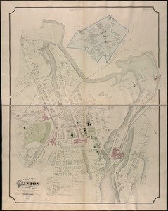
Map of Clinton County
3824.
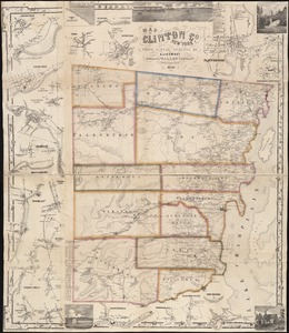
Map of Clinton Worcester Co. Mass
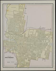
3825.
Map of Columbus ; Cleveland
3826.
Map of Colville Region, Washington Ter
3827.
Map of Commonwealth Avenue Street Railway Company, and connecting lines : showing route to Norumbega Park
3828.
A map of Concord, the old Musketaquid Plantation
3829.
Map of Connecticut, circa 1625, Indian trails, villages, sachemdoms
3830.
Map of Connecticut River from Barnet Vermont to Hartford Con : by actual survey in 1825
3831.
Map of Connecticut River in the states of Massachusetts & Connecticut : in nine sheets
3832.
Map of Crazy Mountains and vicinity, Montana Ter
3833.
Map of Cumberland County, Pennsylvania : from actual surveys
3834.
Map of Cuyahoga County, Ohio
3835.
A map of Cyprus reduced from the coast survey by Captn. Graves ; Alexandria (Egypt) ; map of Jerusalem reduced from the...
3836.
Map of De Kalb Co., Indiana
3837.
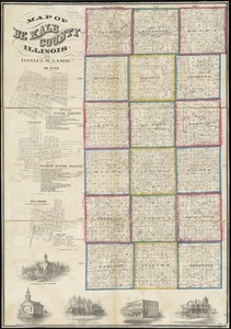
Map of De Kalb County, Illinois
3838.
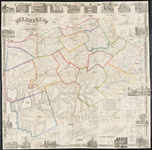
Map of Delaware County, New York
3839.
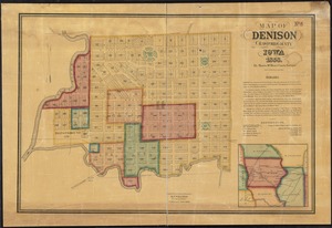
Map of Denison, Crawford County, Iowa
3840.
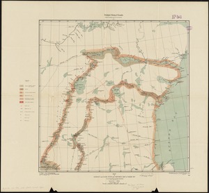
Map of Doobaunt and Kazan Rivers and northwest coast of Hudson Bay
‹ Prev
Next ›
1
2
…
188
189
190
191
192
193
194
195
196
…
440
441