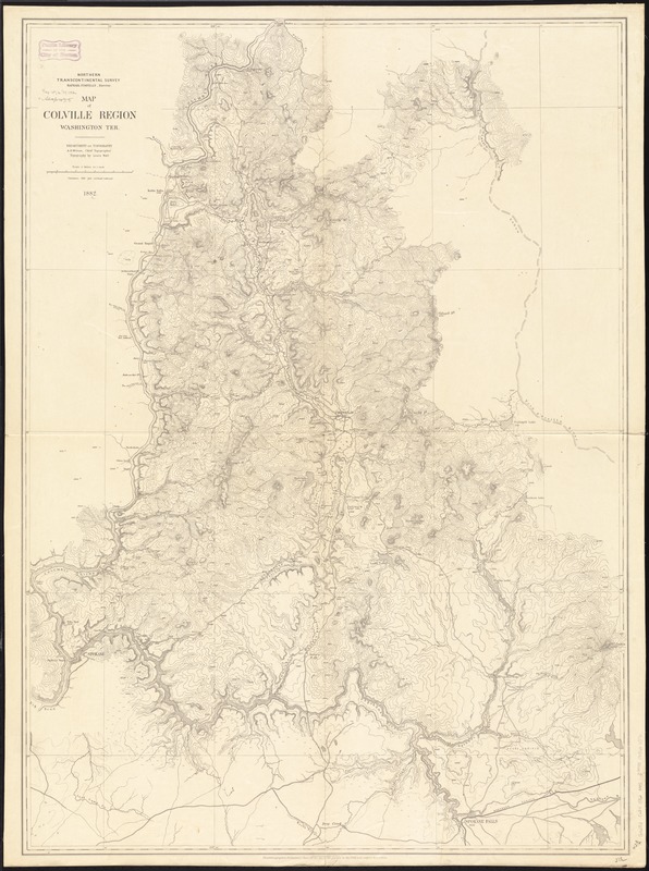
Map of Colville Region, Washington Ter
Item Information
- Title:
- Map of Colville Region, Washington Ter
- Creator:
- Nell, Louis.
- Name on Item:
-
Northern Transcontinental Survey, Department of Topography ; A.D. Wilson, Chief Topographer ; topography by Louis Nell.
- Date:
-
1882
- Format:
-
Maps/Atlases
- Location:
-
Boston Public Library
Norman B. Leventhal Map Center - Collection (local):
-
Norman B. Leventhal Map Center Collection
- Subjects:
-
Colville River Valley (Wash.)--Maps
- Places:
-
Stevens (county)Colville (river)
- Extent:
- 1 map ; 114 x 82 cm.
- Terms of Use:
-
No known copyright restrictions.
No known restrictions on use.
- Publisher:
-
[United States] :
Northern Transcontinental Survey
- Scale:
-
Scale [1:126,720]. 1 in. = 2 mi.
- Language:
-
English
- Notes:
-
Relief shown by contours and spot heights.
"Photolithographed preliminary sheet for the use of the parties in the field, and subject to revision."
- Identifier:
-
06_01_011528
- Call #:
-
G4282.C624 1882 .N45
- Barcode:
-
39999065686576


