Toggle navigation
LMEC Home
Exhibitions
Georeferencing
Tools for Teachers
Collections
My Favorites
Sign Up / Log In
Search
Search the map portal
Map Collection
Map Collection
Map Sets
Search
Search
Search for
Search In
All Fields
Creator
Title
Subject
Place
Search All Digital Collections
Advanced Search
8776 Results
My Search
Start Over
More Like
commonwealth:cj82kn152
Remove constraint More Like: commonwealth:cj82kn152
Filter your Search
Place
North and Central America
6,007
United States
4,925
Massachusetts
2,096
Europe
1,396
Suffolk (county)
1,056
Boston
1,029
Canada
457
Asia
438
more
Place
»
Topic
Boston (Mass.)--Maps
586
United States--Maps
282
Real property--Massachusetts--Boston--Maps
175
Massachusetts--Maps
162
Landowners--Massachusetts--Boston--Maps
133
North America--Maps--Early works to 1800
106
New England--Maps
102
New England--Maps--Early works to 1800
97
more
Topic
»
Date
Date range begin
–
Date range end
Current results range from
1482
to
2023
View distribution
Creator
United States. Hydrographic Office
595
O.H. Bailey & Co
148
Des Barres, Joseph F. W. (Joseph Frederick Wallet), 1722-1824
125
United States. Post Office Dept
120
Ptolemy, 2nd cent
100
Walling, Henry Francis, 1825-1888
94
Jefferys, Thomas, -1771
88
Geological Survey (U.S.)
86
more
Creator
»
Format
Maps/Atlases
8,716
Manuscripts
216
Prints
56
Books
36
Objects/Artifacts
10
Drawings/Illustrations
8
Posters
5
Georeferenced
Yes
876
No
7,900
Collection
Norman B. Leventhal Map & Education Center Collection
8,732
Boston and New England Maps
2,253
Urban Maps
2,024
Maritime Charts and Atlases
1,093
American Revolutionary War-Era Maps
661
Boston Redevelopment Authority Collection
87
Mapping Boston Collection
36
Sidney R. Knafel Map Collection at Phillips Academy
15
more
Collection
»
Available to use
No known restrictions
8,555
Creative Commons license
102
Search Constraints
Sort by relevance
relevance
title
date (asc)
date (desc)
Number of results to display per page
20 per page
10
per page
20
per page
50
per page
100
per page
View results as:
grid view
map view
Search Results
2521.
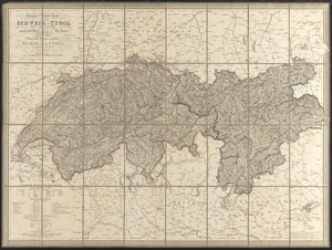
General-reise-karte von der Schweiz und Tyrol mit Vorarlberg und einem beträchtlichen theile der angränzenden länder,...
2522.
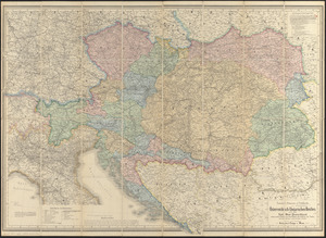
General-strassen & ortskarte des Österreichisch-Ungarischen Reiches nebst ganz süd-west-Deutschland einem grossen theile von...
2523.
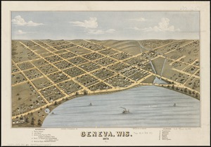
Geneva, Wis : 1871
2524.
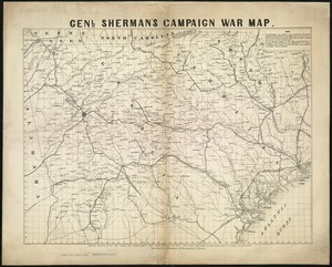
Genl. Sherman's campaign war map
2525.
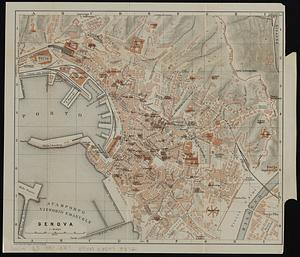
Genova
2526.
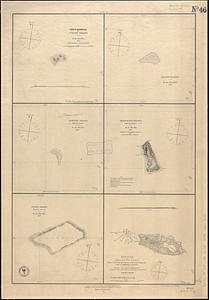
Gente Hermosa or Swains Island ; Jarvis' Island ; Birnies Island, Phœnix Group ; Enderbury' Island, Phœnix Group ; Hull's...
2527.
Gentlemen's driving map showing the park system of Boston
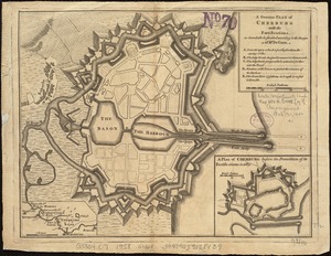
2528.
A genuine plan of Cherburg with the fortifications : as intended to be finished according to the design of Mr. De Caux
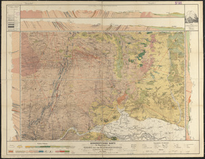
2529.
Geognostische karte der umgebungen von Krems und vom Manhardsberge : jm flächenraume von 34 quadrat meilen
2530.
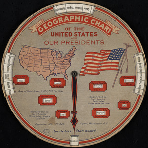
Geographic chart of the United States and our presidents
2531.
Geographical, statistical, and historical map of Rhode Island
2532.
Geographical, topographical, state highway and railroad map of California
2533.
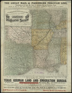
A geographically correct county map of states traversed by the St. Louis, Iron Mountain and Southern Railway, and its connections
2534.
Géographie de l'Amérique
2535.
Geographisches lottospiel, ganz neue vermehrte u. verbesserte auflage : durch welches sich die kinder spielend neit den...
2536.
Geologic map of copper range from Gratiot to La Salle, Michigan
2537.
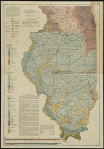
Geologic map of Illinois
2538.
Geologic map of Kentucky : showing oil and gas pools and pipelines and the eastern and western coalfields
2539.
Geologic map of Ohio
2540.
Geologic map of Oklahoma
‹ Prev
Next ›
1
2
…
123
124
125
126
127
128
129
130
131
…
438
439