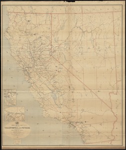
Geographical, topographical, state highway and railroad map of California
Item Information
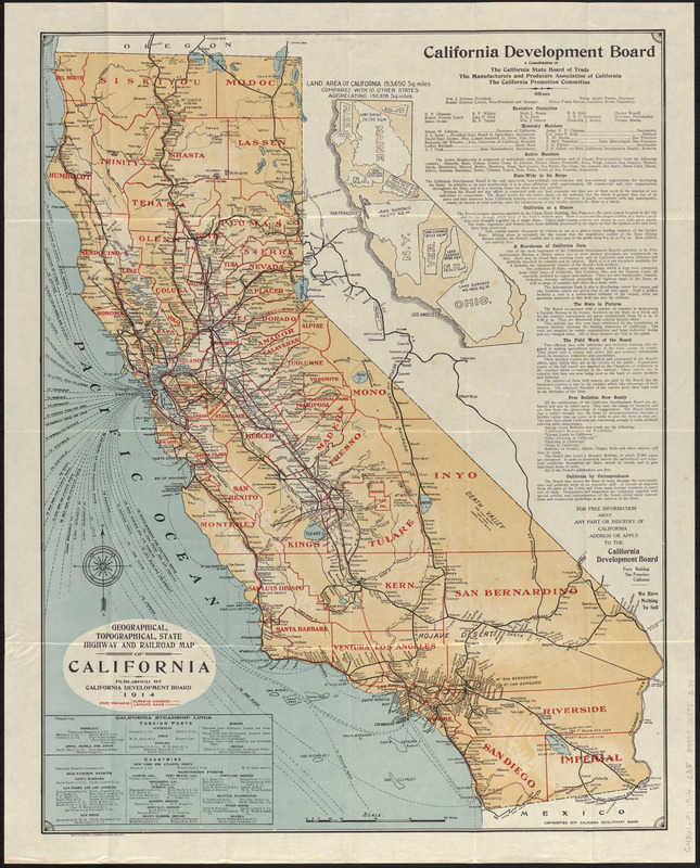
- Title:
- Geographical, topographical, state highway and railroad map of California
- Publisher:
- California Development Board
- Lithographer:
- Britton & Rey
- Date:
-
1914
- Format:
-
Maps/Atlases
- Location:
-
Boston Public Library
Norman B. Leventhal Map & Education Center - Collection (local):
-
Norman B. Leventhal Map & Education Center Collection
- Subjects:
-
Railroads--California--Maps
Steamboat lines--California--Maps
Roads--California--Maps
California--Maps
- Places:
-
California
- Extent:
- 1 map : color ; 64 x 50 cm, on sheet 69 x 56 cm
- Terms of Use:
-
No known copyright restrictions.
No known restrictions on use.
- Publisher:
-
California ; S.F. :
California Development Board ; Britton & Rey, Lithographers, Inc.
- Scale:
-
Scale approximately 1:1,730,000
- Language:
-
English
- Notes:
-
Relief shown by hachures and spot heights.
Includes text, chart of steamship lines, and a map comparing size of California with other states.
Shows highways, railroads and steamship lines.
- Notes (exhibitions):
-
Exhibited: "Bending lines: maps and data from distortion to deception," organized by the Norman B. Leventhal Map & Education Center at the Boston Public Library, 2020-2021.
- Identifier:
-
06_01_016863
- Call #:
-
G4361.P1 1914 .C35
- Barcode:
-
39999085953188