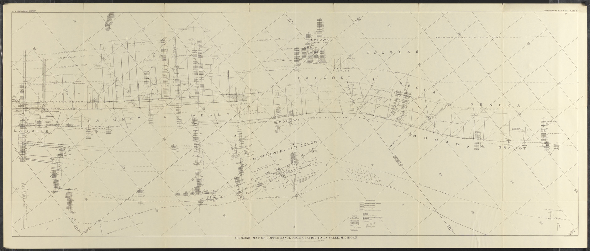
Geologic map of copper range from Gratiot to La Salle, Michigan
Item Information
- Title:
- Geologic map of copper range from Gratiot to La Salle, Michigan
- Cartographer:
- Geological Survey (U.S.)
- Contributor:
- Butler, B. S. (Bert Sylvenus), 1877-1960
- Date:
-
[1929]
- Format:
-
Maps/Atlases
- Location:
-
Boston Public Library
Norman B. Leventhal Map & Education Center - Collection (local):
-
Norman B. Leventhal Map & Education Center Collection
- Subjects:
-
Geology--Michigan--Houghton County--Maps
Geology--Michigan--Keweenaw County--Maps
Houghton County (Mich.)--Maps
Keweenaw County (Mich.)--Maps
- Places:
-
MichiganHoughton (county)
MichiganKeweenaw (county)
- Extent:
- 1 map ; 61 x 154 cm
- Terms of Use:
-
No known copyright restrictions.
No known restrictions on use.
- Publisher:
-
[Washington, D.C.] :
[Government Printing Office]
- Scale:
-
Scale approximately 1:12,000
- Language:
-
English
- Notes:
-
Oriented with north to the upper right.
Covers parts of Keweenaw County and Houghton County.
"Professional paper 144 plate 8."
From The copper deposits of Michigan (Washington, D.C. : G.P.O, 1929).
- Notes (date):
-
This date is inferred.
- Identifier:
-
06_01_014852
- Call #:
-
G4113.H6C5 1929 .G46
- Barcode:
-
39999065707935


