Search Constraints
Search Results

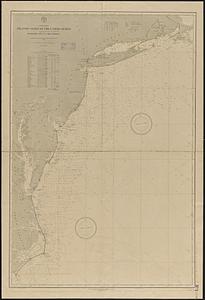
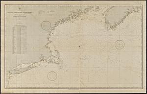
5721. North America

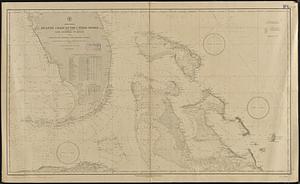
5722. North America

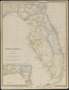
5725. North America : Florida

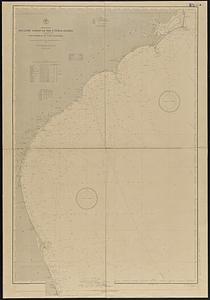
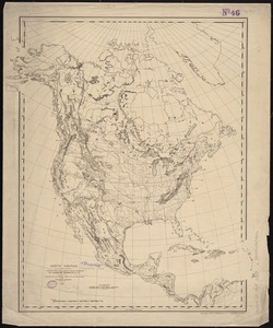
5726. North America


5728. North America


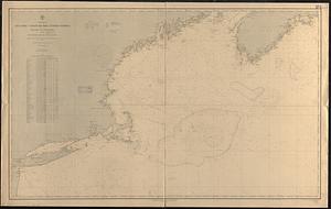
5731. North America

5732. North America

5733. North America