North America
Item Information
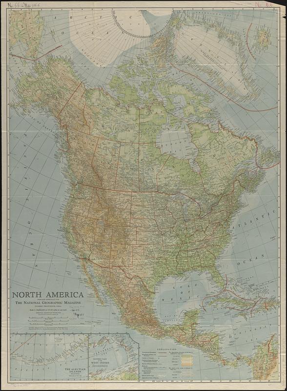
- Title:
- North America
- Cartographer:
- National Geographic Society (U.S.). Cartographic Section
- Date:
-
1924
- Format:
-
Maps/Atlases
- Location:
-
Boston Public Library
Norman B. Leventhal Map & Education Center - Collection (local):
-
Norman B. Leventhal Map & Education Center Collection
- Subjects:
-
North America--Maps
- Places:
-
North America (area)
- Extent:
- 1 map : color ; 94 x 69 cm
- Terms of Use:
-
No known copyright restrictions.
No known restrictions on use.
- Publisher:
-
Washington :
Cartographic Division, National Geographic Society
- Scale:
-
Scale 1:10,000,000. 157.82 miles to one inch
- Projection:
- azimuthal equidistant projection, pole of projection latitude 45° longitude 100°
- Language:
-
English
- Notes:
-
Issued with the National geographic magazine, v. 45, no 5, May 1924.
Includes insets of The Aleutian Islands and Eastern part of the West Indies.
- Identifier:
-
06_01_017020
- Call #:
-
G3300 1924 .N4
- Barcode:
-
39999065693275


