Toggle navigation
LMEC Home
Exhibitions
Georeferencing
Tools for Teachers
Collections
My Favorites
Sign Up / Log In
Search
Search the map portal
Map Collection
Map Collection
Map Sets
Search
Search
Search for
Search In
All Fields
Creator
Title
Subject
Place
Search All Digital Collections
Advanced Search
104 Results
My Search
Start Over
More Like
commonwealth:c534m2488
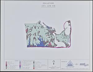
Remove constraint More Like: commonwealth:c534m2488
Filter your Search
Place
North and Central America
89
United States
88
Massachusetts
56
Virginia
13
Berkshire (county)
9
Boston
8
Suffolk (county)
8
Connecticut
5
more
Place
»
Topic
Massachusetts--Maps
19
United States--History--Civil War, 1861-1865--Maps
10
Berkshire County (Mass.)--Maps
8
Land use--Massachusetts--Maps
7
Virginia--History--Civil War, 1861-1865--Maps
7
Connecticut--Maps
5
Watersheds--Massachusetts--Maps
5
Boston Metropolitan Area (Mass.)--Maps
4
more
Topic
»
Date
Date range begin
–
Date range end
Current results range from
1762
to
2015
View distribution
Creator
MassGIS (Office : Mass.)
20
Massachusetts. Executive Office of Environmental Affairs
16
Michler, N. (Nathaniel), 1827-1881
15
New York Lithographing, Engraving and Printing Co.
12
Strasser, J.
12
Theilkuhl, F.
12
Weyss, J. E.
12
Geological Survey (U.S.)
10
more
Creator
»
Format
Maps/Atlases
101
Ephemera
2
Manuscripts
2
Books
1
Documents
1
Posters
1
Georeferenced
No
104
Collection
Norman B. Leventhal Map & Education Center Collection
101
David Judkins Weaver Papers
96
Boston and New England Maps
66
Urban Maps
9
American Antiquarian Society Collection
2
American Revolutionary War-Era Maps
2
Massachusetts Real Estate Atlases
1
Available to use
No known restrictions
101
Search Constraints
Sort by relevance
relevance
title
date (asc)
date (desc)
Number of results to display per page
20 per page
10
per page
20
per page
50
per page
100
per page
View results as:
grid view
map view
Search Results
21.
Cape Cod open space : SCORP-GIS integration project
22.
Chancellorville
23.
[Character conversion print errors on] Draft working map Neponset River estuary
24.
Chesapeake Bay, environmentally sensitive areas
25.
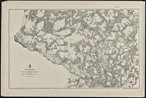
Cold Harbor
26.
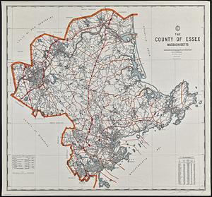
The county of Essex, Massachusetts
27.
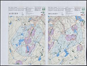
DEP water supply contamination correction program underground storage tank locations compared to natural resource data : Auburn...
28.
Dot matrix printouts of Landsat satellite images
29.
Edgartown 1971 to 1985 land use change
30.
EOEA MassGIS geographic information system transition document : The EOEA geographic information system: MassGIS
31.
Equatorial gnomonic projection
32.
Fredericksburg
33.
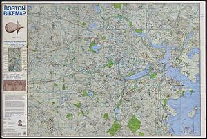
Free 1978 Boston bikemap : featuring an illustrated guide to commuting & recreation
34.
General plan of the MWRA/MDC water system
35.
Gnomonic projection : polar-equatorial
36.
Gulf of Maine watershed : with major river basins
37.
Harper's Ferry
38.
High Bridge and Farmville
39.
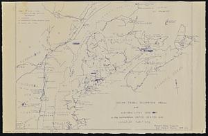
Indian tribal occupation areas and historic sites 1500-1600 in the northeastern United States and Canadian Maritimes
40.
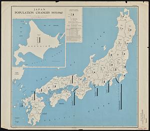
Japan, population changes 1935-1940
‹ Prev
Next ›
1
2
3
4
5
6

![[Character conversion print errors on] Draft working map Neponset River estuary](https://bpldcassets.blob.core.windows.net/derivatives/images/commonwealth:mc87v2589/image_thumbnail_300.jpg)