Toggle navigation
LMEC Home
Exhibitions
Georeferencing
Tools for Teachers
Collections
My Favorites
Sign Up / Log In
Search
Search the map portal
Map Collection
Map Collection
Map Sets
Search
Search
Search for
Search In
All Fields
Creator
Title
Subject
Place
Search All Digital Collections
Advanced Search
8862 Results
My Search
Start Over
More Like
commonwealth:9s161j35d
Remove constraint More Like: commonwealth:9s161j35d
Filter your Search
Place
North and Central America
6,093
United States
5,009
Massachusetts
2,134
Europe
1,396
Suffolk (county)
1,208
Boston
1,181
Canada
449
Asia
438
more
Place
»
Topic
Boston (Mass.)--Maps
752
United States--Maps
282
Real property--Massachusetts--Boston--Maps
195
Massachusetts--Maps
166
City planning--Massachusetts--Boston--Maps
158
Landowners--Massachusetts--Boston--Maps
142
New England--Maps
104
North America--Maps--Early works to 1800
103
more
Topic
»
Date
Date range begin
–
Date range end
Current results range from
1482
to
2023
View distribution
Creator
United States. Hydrographic Office
595
Boston Redevelopment Authority
163
O.H. Bailey & Co
148
Des Barres, Joseph F. W. (Joseph Frederick Wallet), 1722-1824
124
United States. Post Office Dept
120
Ptolemy, 2nd cent
100
Walling, Henry Francis, 1825-1888
94
Geological Survey (U.S.)
87
more
Creator
»
Format
Maps/Atlases
8,802
Manuscripts
215
Prints
56
Books
36
Objects/Artifacts
10
Drawings/Illustrations
8
Posters
5
Georeferenced
Yes
885
No
7,977
Collection
Norman B. Leventhal Map & Education Center Collection
8,723
Boston and New England Maps
2,358
Urban Maps
2,142
Maritime Charts and Atlases
1,083
American Revolutionary War-Era Maps
638
Boston Redevelopment Authority Collection
192
Mapping Boston Collection
20
Massachusetts Real Estate Atlases
12
more
Collection
»
Available to use
No known restrictions
8,665
Creative Commons license
70
Search Constraints
Sort by relevance
relevance
title
date (asc)
date (desc)
Number of results to display per page
20 per page
10
per page
20
per page
50
per page
100
per page
View results as:
grid view
map view
Search Results
7281.
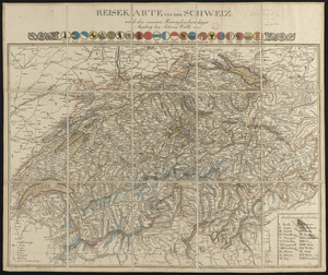
Reisekarte von der Schweiz nach den neuesten materialien berichtiget
7282.
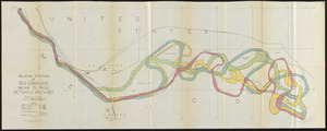
Relative positions of Rio Grande near El Paso between 1852 and 1907
7283.
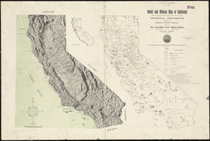
Relief and mineral map of California showing the topography and the approximate locations of all the principal mineral deposits...
7284.
Relief map of Canada and the United States
7285.
Relief map of New Hampshire
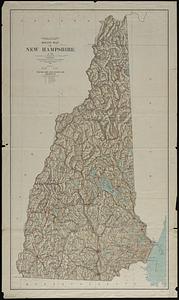
7286.
Relief map of New Jersey
7287.
Relief map of the Dominion of Canada
7288.
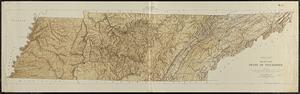
Relief map, state of Tennessee
7289.
Relief practice map
7290.
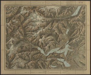
Reliefkarte der Centralschweiz
7291.
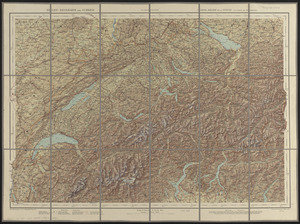
Relief-reisekarte der Schweiz = Carte-relief de la Suisse à l'usage des touristes
7292.
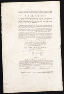
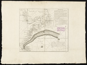
Remarks
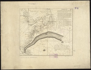
7293.
Remarques sur la navigation de terre-neuve à New-York afin d'eviter les courrants et les bas-fonds au sud de Nantuckett et du...
7294.
Remarques sur la navigation de terre-neuve à New-York afin d'eviter les courrants et les bas-fonds au sud de Nantuckett et du...
7295.
Repræsentatio accubitus regum Sueciæ Daniæ q: Fridericiburgi d. 3, 4 et 5 Mart. 1658
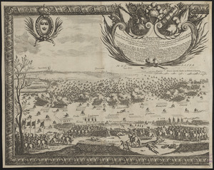
7296.
Repraesentatio praelij d. 30 Ianua an. 1658 ad Ifwersnaas commissi inquo Seren. rex Sueciae Carolvs Gvstavus postquam copias...
7297.
Repræsentatio scenographica Arcis Cronenburg auspiciis S.R. M. Sueciæ. ductu vero Exell. Dn. Com. C.G. Wrangelij reg. Sue....
7298.
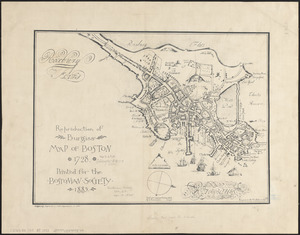
Reproduction of Burgiss' map of Boston, 1728 : printed for the Bostonian Society, 1885
7299.
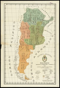
Republica Argentina : superficie, población, ferro-carriles, cultivos y ganados
7300.
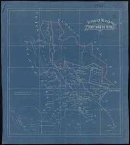
República Mexicana, Territorio de Tepic
‹ Prev
Next ›
1
2
…
361
362
363
364
365
366
367
368
369
…
443
444