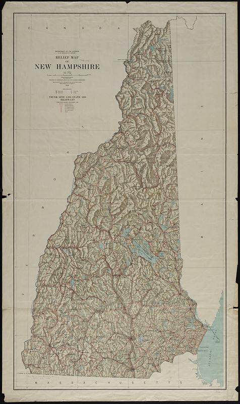
Relief map of New Hampshire
Item Information
- Title:
- Relief map of New Hampshire
- Publisher:
- Geological Survey (U.S.)
- Contributor:
- Renshawe, John H.
- Contributor:
- New Hampshire. State Highway Department
- Name on Item:
-
Department of the Interior, U.S. Geological Survey ; prepared in cooperation with the State Highway Department ; base compiled from U.S. Geological Survey maps and other sources ; relief shading by Jno. H. Renshawe ; trunk line and state aid highways from State Highway Department 1928
- Date:
-
1928
- Format:
-
Maps/Atlases
- Genre:
-
Physical maps
- Location:
-
Boston Public Library
Norman B. Leventhal Map & Education Center - Collection (local):
-
Norman B. Leventhal Map & Education Center Collection
- Subjects:
-
New Hampshire--Maps
Roads--New Hampshire--Maps
- Places:
-
New Hampshire
- Extent:
- 1 map : col. ; 118 x 66 cm.
- Terms of Use:
-
No known copyright restrictions.
No known restrictions on use.
- Publisher:
-
[Washington, D.C.] :
U.S. Geological Survey
- Scale:
-
Scale 1:253,440. 1 inch = 4 miles
- Language:
-
English
- Notes:
-
Relief shown by shading.
- Identifier:
-
06_01_018918
- Call #:
-
G3741.C2 1928 .G46
- Barcode:
-
39999065672766


