Toggle navigation
LMEC Home
Exhibitions
Georeferencing
Tools for Teachers
Collections
My Favorites
Sign Up / Log In
Search
Search the map portal
Map Collection
Map Collection
Map Sets
Search
Search
Search for
Search In
All Fields
Creator
Title
Subject
Place
Search All Digital Collections
Advanced Search
8680 Results
My Search
Start Over
More Like
commonwealth:9s161d306
Remove constraint More Like: commonwealth:9s161d306
Filter your Search
Place
North and Central America
5,919
United States
4,832
Massachusetts
2,089
Europe
1,392
Suffolk (county)
1,060
Boston
1,033
Canada
449
Asia
437
more
Place
»
Topic
Boston (Mass.)--Maps
583
United States--Maps
279
Real property--Massachusetts--Boston--Maps
175
Massachusetts--Maps
161
Landowners--Massachusetts--Boston--Maps
133
North America--Maps--Early works to 1800
103
New England--Maps
101
Europe--Maps
79
more
Topic
»
Date
Date range begin
–
Date range end
Current results range from
1482
to
2023
View distribution
Creator
United States. Hydrographic Office
595
O.H. Bailey & Co
148
Des Barres, Joseph F. W. (Joseph Frederick Wallet), 1722-1824
123
United States. Post Office Dept
120
Ptolemy, 2nd cent
100
Walling, Henry Francis, 1825-1888
94
Geological Survey (U.S.)
86
Jefferys, Thomas, -1771
85
more
Creator
»
Format
Maps/Atlases
8,620
Manuscripts
216
Prints
56
Books
36
Objects/Artifacts
10
Drawings/Illustrations
8
Posters
5
Georeferenced
Yes
872
No
7,808
Collection
Norman B. Leventhal Map & Education Center Collection
8,657
Boston and New England Maps
2,235
Urban Maps
1,997
Maritime Charts and Atlases
1,083
American Revolutionary War-Era Maps
642
Boston Redevelopment Authority Collection
87
Mapping Boston Collection
10
Richard H. Brown Revolutionary War Map Collection at Mount Vernon
5
more
Collection
»
Available to use
No known restrictions
8,507
Creative Commons license
70
Search Constraints
Sort by relevance
relevance
title
date (asc)
date (desc)
Number of results to display per page
20 per page
10
per page
20
per page
50
per page
100
per page
View results as:
grid view
map view
Search Results
21.
A chart of the coast of New England, from Beverly to Scituate harbour, including the ports of Boston and Salem
22.
A chart of the harbour of Boston
23.
A chart of the harbour of Boston
24.
A chart of the harbour of Boston
25.
A draught of Boston Harbor by Capt. Cyprian Southake
26.
Grundriss von der stadt Boston und ihren gegenden
27.
A map of 100 miles round Boston
28.
A map of the most inhabited part of New England : containing the provinces of Massachusets Bay and New Hampshire, with the...
29.
A map of the most inhabited part of New England : containing the provinces of Massachusets Bay and New Hampshire, with the...
30.
A new and accurate plan of the town of Boston in New England : A new plan of Boston Harbor from an actual survey
31.
A new plan of ye great town of Boston in New England in America, with the many additionall buildings & new streets to the year...
32.
A new plan of ye great town of Boston in New England in America, with the many additionall [sic] buildings, & new streets, to...
33.
Particular draughts and plans of some of the principal towns and harbours belonging to the English, French, and Spaniards, in...
34.
Plan de Boston
35.
Plan de la ville de Boston
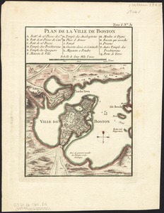
36.
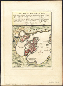
Plan de la ville de Boston
37.
Plan de la ville de Boston et ses environs
38.
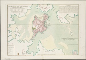
Plan de la ville et du port de Boston : capitale de la Nouvelle Angleterre
39.
A plan of Boston, from actual survey
40.
The seat of war in New England, by an American volunteer : with the marches of the several corps sent by the Colonies towards...
‹ Prev
Next ›
1
2
3
4
5
6
…
433
434


![A new plan of ye great town of Boston in New England in America, with the many additionall [sic] buildings, & new streets, to the year, 1769](https://bpldcassets.blob.core.windows.net/derivatives/images/commonwealth:3f462v50z/image_thumbnail_300.jpg)