Search Constraints
Search Results

7881. State of Arkansas

7882. State of California

7883. State of Chiapas

7884. State of Colorado

7885. State of Colorado


7887. State of Florida

7888. State of Florida

7889. State of Idaho

7890. State of Illinois

7891. State of Illinois

7892. State of Illinois


7894. State of Indiana

7895. State of Indiana

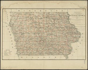
7897. State of Iowa

7898. State of Iowa

7899. State of Kansas
