Search Constraints
Search Results


![[The World]](https://bpldcassets.blob.core.windows.net/derivatives/images/commonwealth:st74cx537/image_thumbnail_300.jpg)
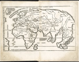
59. [The World]

![[World map]](https://bpldcassets.blob.core.windows.net/derivatives/images/commonwealth:st74cz00d/image_thumbnail_300.jpg)
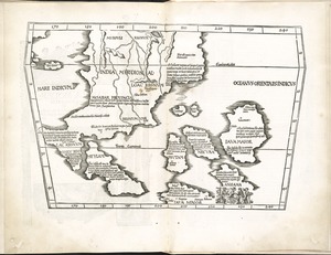
61. [World map]


66. Ta. here. Helve

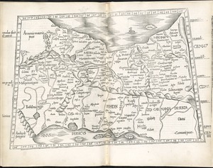
67. Ta. mo. Galliae

68. Ta. mo. Germa
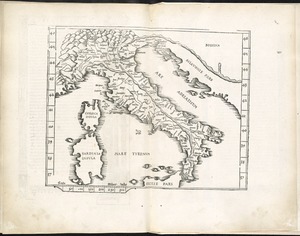
70. Ta. no. Italiae
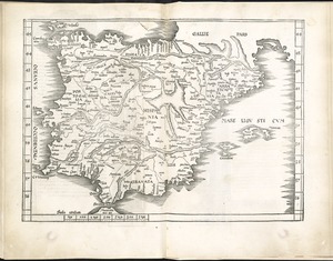
72. Tab. mo. Hispan
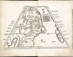
79. Tabu. nova Can
![Tabu. provi. Rheni [verso]](https://bpldcassets.blob.core.windows.net/derivatives/images/commonwealth:3f462s27r/image_thumbnail_300.jpg)
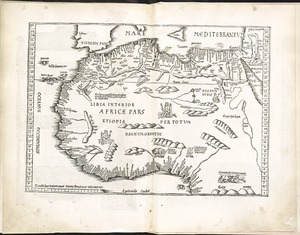
83. Tabula I Aphri
84. Tabula I Asiae
85. Tabula I Europae
86. Tabula II Asiae
88. Tabula III Asiae
93. Tabula IX Asiae
99. Tabula V Asiae