Toggle navigation
LMEC Home
Exhibitions
Georeferencing
Tools for Teachers
Collections
My Favorites
Sign Up / Log In
Search
Search the map portal
Map Collection
Map Collection
Map Sets
Search
Search
Search for
Search In
All Fields
Creator
Title
Subject
Place
Search All Digital Collections
Advanced Search
450 Results
My Search
Start Over
More Like
commonwealth:9019zn22f
Remove constraint More Like: commonwealth:9019zn22f
Filter your Search
Place
North and Central America
391
United States
219
Canada
110
North America
71
Saint Lawrence River
69
Quebec
57
New York
25
Pennsylvania
18
more
Place
»
Topic
Saint Lawrence River--Maps
67
North America--Maps--Early works to 1800
59
United States--Maps--Early works to 1800
43
Canada--Maps--Early works to 1800
42
United States--History--French and Indian War, 1754-1763--Maps
30
Great Lakes Region (North America)--Maps--Early works to 1800
12
Longue-Pointe (Québec)--Maps
12
Mingan Islands (Québec)--Maps
12
more
Topic
»
Date
Date range begin
–
Date range end
Current results range from
1623
to
1999
View distribution
Creator
Jefferys, Thomas, -1771
30
Robert Sayer and John Bennett (Firm)
27
Bellin, Jacques Nicolas, 1703-1772
19
Cook, James, 1728-1779
14
Gibson, J. (John), active 1750-1792
14
Carleton, Osgood, 1742-1816
13
Faden, William, 1749-1836
13
Desjardins, pilot of Québec
12
more
Creator
»
Format
Maps/Atlases
448
Manuscripts
4
Paintings
3
Ephemera
1
Objects/Artifacts
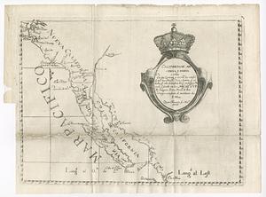
1
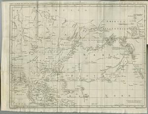
Prints
1
Georeferenced
No
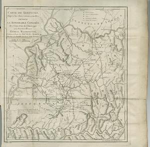
450
Collection
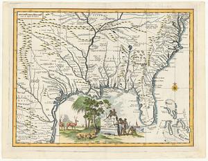
American Revolutionary War-Era Maps
396
MacLean Collection Map Library
379
William L. Clements Library Collection
48
Library and Archives Canada Collection
14
Norman B. Leventhal Map & Education Center Collection
4
New York Public Library Collection
3
American Antiquarian Society Collection
2
Available to use
No known restrictions
4
Creative Commons license
3
Search Constraints
Sort by relevance
relevance
title
date (asc)
date (desc)
Number of results to display per page
20 per page
10
per page
20
per page
50
per page
100
per page
View results as:
grid view
map view
Search Results
101.
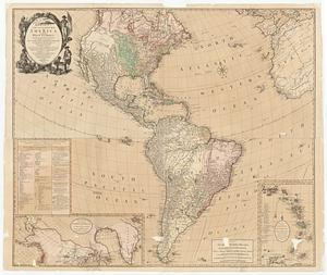
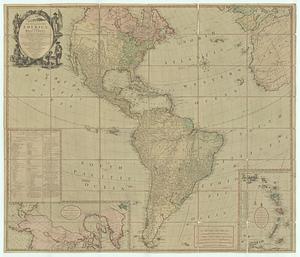
Bowles's new four-sheet map of America, and the West Indies, wherein are particularly ascertained the limits and extent of the...
102.
Bowles's new four-sheet map of America, and the West Indies, wherein are particularly ascertained the limits and extent of the...
103.
Bowles's new one-sheet map of America, divided into it's provinces, colonies, states, &c.
104.
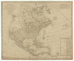
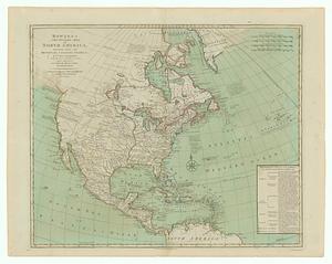
Bowles's new pocket map of North America divided into it's provinces, colonies, &c.
105.
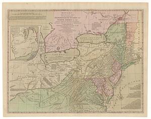
Bowles's new pocket map of the following independent states of North America, viz. Virginia, Maryland, Delaware, Pensylvania,...
106.
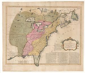
The British & French dominions in North America particularly shewing the French encroachments through all the British...
107.
British dominions in America agreeable to the treaty of 1763 : divided into the several provinces, and jurisdictions
108.
The British possessions in North America from the best authorities
109.
California
110.
Californias: Antigua y nueva
111.
Canada Louisiane et terres angloises
112.
Canada Louisiane et terres angloises
113.
Carta del Mar Pacifico del nord che comprendela costa nord est d'Asia e la costa-nord ouest d'America riconosciute nel 1778 e79...
114.
Carta geografica della Florida nell' America settentrional
115.
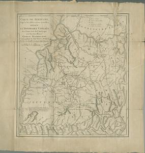
Carte de Kentucke, d'apres les observations actuelles : dediee a l'honorable Congres des Etats-Unis de l'Amerique et a son...
116.
Carte de Kentucke, d'apres les observations actuelles : dediee a l'honorable congres des Etats-Unis de l'Amerique et a son...
117.
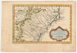
Carte de la Caroline et Georgie : pour servir à l'histoire générale des voyages
118.
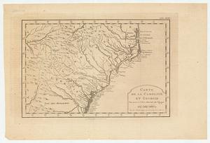
Carte de la Caroline et Georgie : pour servir à l'histoire générale des voyages
119.
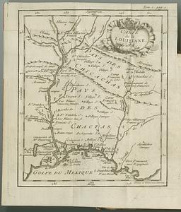
Carte de la Louisiane
120.
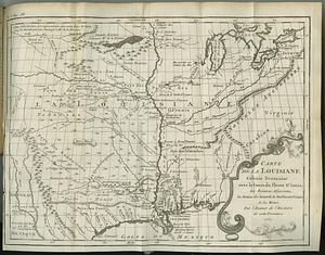
Carte de la Louisiane colonie francaise avec le cours du fleuve St. Louis, les rivieres adjacentes, les nations des naturels,...
‹ Prev
Next ›
1
2
3
4
5
6
7
8
9
10
…
22
23