Toggle navigation
LMEC Home
Exhibitions
Georeferencing
Tools for Teachers
Collections
My Favorites
Sign Up / Log In
Search
Search the map portal
Map Collection
Map Collection
Map Sets
Search
Search
Search for
Search In
All Fields
Creator
Title
Subject
Place
Search All Digital Collections
Advanced Search
684 Results
My Search
Start Over
More Like
commonwealth:8c97p735x
Remove constraint More Like: commonwealth:8c97p735x
Filter your Search
Place
North and Central America
681
United States
678
Suffolk (county)
671
Boston
670
Massachusetts
336
Roxbury
74
South End
55
Fens
47
more
Place
»
Topic
City planning--Massachusetts--Boston--Maps
418
Real property--Massachusetts--Boston--Maps
253
Urban renewal--Massachusetts--Boston--Maps
253
Boston (Mass.)--Maps
218
Landowners--Massachusetts--Boston--Maps
140
Buildings--Massachusetts--Boston--Maps
118
Land use--Massachusetts--Boston--Maps
101
Roxbury (Boston, Mass.)--Maps
71
more
Topic
»
Date
Date range begin
–
Date range end
Current results range from
1798
to
2023
View distribution
Creator
Boston Redevelopment Authority
375
Bromley, George Washington
68
Bromley, Walter Scott
68
G.W. Bromley & Co.
46
Wadsworth, Alexander, 1806-1898
19
Hopkins, Griffith Morgan, Jr.
15
Downtown Waterfront Corporation
10
Victor Gruen Associates
10
more
Creator
»
Format
Maps/Atlases
683
Manuscripts
5
Drawings/Illustrations
3
Prints
1
Georeferenced
Yes
11
No
673
Collection
Boston and New England Maps
636
Urban Maps
619
Boston Redevelopment Authority Collection
441
Norman B. Leventhal Map & Education Center Collection
262
Massachusetts Real Estate Atlases
36
American Revolutionary War-Era Maps
1
Applied Geographics, Inc. Records
1
Available to use
No known restrictions
645
Creative Commons license
2
Search Constraints
Sort by relevance
relevance
title
date (asc)
date (desc)
Number of results to display per page
20 per page
10
per page
20
per page
50
per page
100
per page
View results as:
grid view
map view
Search Results
361.
Open space management program index map
362.
Parker Hill-Fenway project no. Mass. R-48 : police signal system, fire alarm system and M.T.A. facilities
363.
Parker Hill-Fenway project no. Mass. R-48 : sewer and storm drain system
364.
Parker Hill-Fenway project no. Mass. R-48 : water distribution system
365.
Recommended geometrics plan : Back Bay study area
366.
Relationship of TNEMC development plan area to New York streets land assembly and redevelopment project
367.
Report on improvements to the Boston main drainage system
368.
Report on the alternate master highway plan for the Boston metropolitan area
369.
Ruggles Center : existing condition plan
370.
Ruggles Center : site area diagram
371.
South Boston urban renewal area R-51
372.
South Cove proposed land use
373.
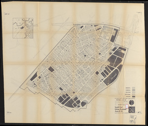
South End renewal area : locality map
374.
South End renewal area : existing conditions & proposed treatment areas
375.
South End renewal area : existing land use
376.
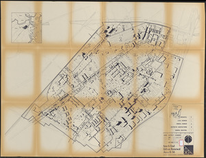
South End urban renewal area R-56 : proposed land use
377.
South End urban renewal area R-56 : zone district changes
378.
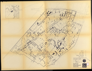
South End urban renewal area R-56 : proposed land use
379.
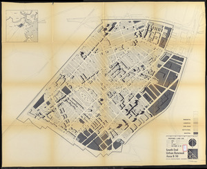
South End urban renewal area R-56 : zone district changes
380.
South End urban renewal area R-56 : proposed land use
‹ Prev
Next ›
1
2
…
15
16
17
18
19
20
21
22
23
…
34
35