Toggle navigation
LMEC Home
Exhibitions
Georeferencing
Tools for Teachers
Collections
My Favorites
Sign Up / Log In
Search
Search the map portal
Map Collection
Map Collection
Map Sets
Search
Search
Search for
Search In
All Fields
Creator
Title
Subject
Place
Search All Digital Collections
Advanced Search
8807 Results
My Search
Start Over
More Like
commonwealth:8049g949n
Remove constraint More Like: commonwealth:8049g949n
Filter your Search
Place
North and Central America
6,020
United States
4,897
Massachusetts
2,079
Europe
1,396
Suffolk (county)
1,046
Boston
1,019
Canada
510
Asia
438
more
Place
»
Topic
Boston (Mass.)--Maps
586
United States--Maps
330
Real property--Massachusetts--Boston--Maps
175
Massachusetts--Maps
162
Landowners--Massachusetts--Boston--Maps
133
North America--Maps--Early works to 1800
103
New England--Maps
102
Europe--Maps
79
more
Topic
»
Date
Date range begin
–
Date range end
Current results range from
1482
to
2023
View distribution
Creator
United States. Hydrographic Office
595
O.H. Bailey & Co
148
Des Barres, Joseph F. W. (Joseph Frederick Wallet), 1722-1824
123
United States. Post Office Dept
120
Ptolemy, 2nd cent
100
Jefferys, Thomas, -1771
99
Walling, Henry Francis, 1825-1888
94
Geological Survey (U.S.)
87
more
Creator
»
Format
Maps/Atlases
8,747
Manuscripts
216
Prints
56
Books
36
Objects/Artifacts
10
Drawings/Illustrations
8
Posters
5
Georeferenced
Yes
871
No
7,936
Collection
Norman B. Leventhal Map & Education Center Collection
8,700
Boston and New England Maps
2,233
Urban Maps
2,023
Maritime Charts and Atlases
1,083
American Revolutionary War-Era Maps
721
Boston Redevelopment Authority Collection
87
William L. Clements Library Collection
56
American Antiquarian Society Collection
22
more
Collection
»
Available to use
No known restrictions
8,556
Creative Commons license
53
Search Constraints
Sort by relevance
relevance
title
date (asc)
date (desc)
Number of results to display per page
20 per page
10
per page
20
per page
50
per page
100
per page
View results as:
grid view
map view
Search Results
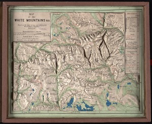
4721.
Map of the White Mountains, N.H : based on the best surveys
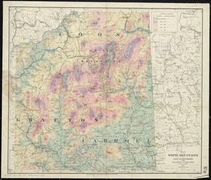
4722.
Map of the White Mountains, N.H
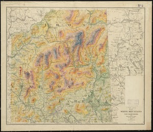
4723.
Map of the White Mountains of New Hampshire from Walling's large map of the state, 1881
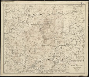
4724.
Map of the White Mountains of New Hampshire from Walling's map of the state, 1877
4725.
Map of the White Mountains of New Hampshire from Walling's map of the state 1877
4726.
A map of the wondrous isle of Manhattan
4727.
Map of the world
4728.
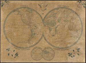
[Map of the world]
4729.
A map of the world
4730.
The map of the world
4731.
A map of the world : corrected from the observations communicated to the Royal Societys of London and Paris
4732.
Map of the world
4733.
A map of the world from the best authorities
4734.
A map of the world from the best authorities
4735.
A map of the world on a globular projection : exhibiting particularly the nautical researches of Captain James Cook, F.R.S. :...
4736.
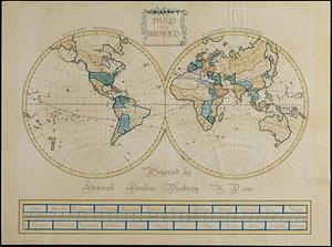
[Map of the world on a polyconic projection]
4737.
Map of the world, on Mercator's projection
4738.
Map of the world on Mercator's projection, to show the populations and actual areas occupied by the various states represented...
4739.
Map of the world, shewing the tracks & discoveries of Captn. Cook
4740.
A map of the Yearly Meeting of Friends for New England : 1850
‹ Prev
Next ›
1
2
…
233
234
235
236
237
238
239
240
241
…
440
441


![[Map of the world]](https://bpldcassets.blob.core.windows.net/derivatives/images/commonwealth:79408320r/image_thumbnail_300.jpg)


![[Map of the world on a polyconic projection]](https://bpldcassets.blob.core.windows.net/derivatives/images/commonwealth:x633f979b/image_thumbnail_300.jpg)


