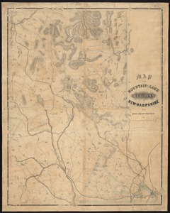
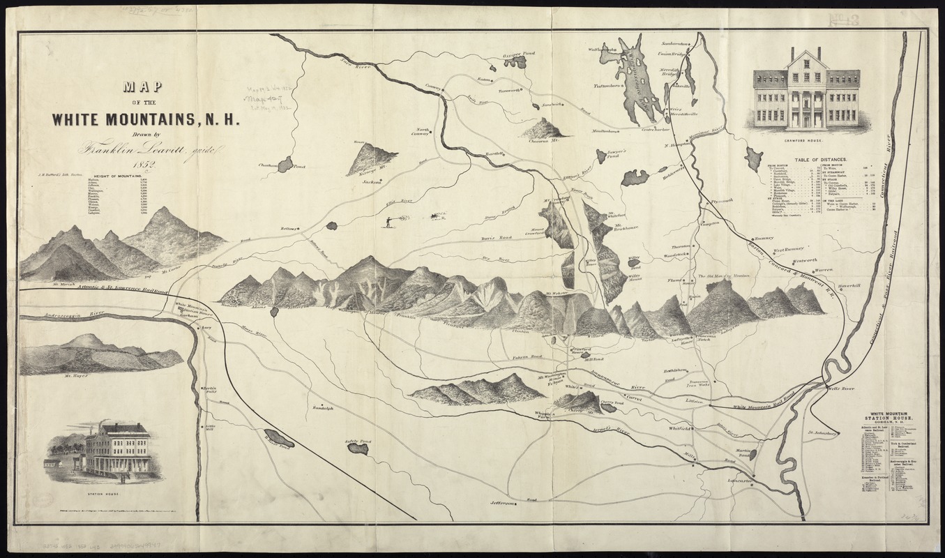
Map of the White Mountains, N.H
Item Information
- Title:
- Map of the White Mountains, N.H
- Creator:
- Leavitt, Franklin.
- Name on Item:
-
drawn by Franklin Leavitt, guide.
- Date:
-
1852
- Format:
-
Maps/Atlases
- Location:
-
Boston Public Library
Norman B. Leventhal Map Center - Collection (local):
-
Norman B. Leventhal Map Center Collection
- Subjects:
-
Railroads--New Hampshire--Maps
White Mountains (N.H. and Me.)--Maps
- Places:
-
White Mountains
- Extent:
- 1 map ; 48 x 89 cm.
- Terms of Use:
-
No known copyright restrictions.
No known restrictions on use.
- Publisher:
-
Boston :
J.H. Bufford
- Scale:
-
Not drawn to scale
- Language:
-
English
- Notes:
-
Relief shown pictorially.
Oriented with north to the left.
Selected points of interest shown pictorially.
Includes table of "Heights of mountains" and "Table of distances" between stations along railroad lines.
Shows Atlantic and St. Lawrence Railroad, Boston, Concord and Montreal R.R., Connecticut and Pass. River Railroad, and White Mountain Rail Road.
- Identifier:
-
06_01_008032
- Call #:
-
G3742.W52 1852 .L43
- Barcode:
-
39999065649947