Toggle navigation
LMEC Home
Exhibitions
Georeferencing
Tools for Teachers
Collections
My Favorites
Sign Up / Log In
Search
Search the map portal
Map Collection
Map Collection
Map Sets
Search
Search
Search for
Search In
All Fields
Creator
Title
Subject
Place
Search All Digital Collections
Advanced Search
8714 Results
My Search
Start Over
More Like
commonwealth:7h14b278z
Remove constraint More Like: commonwealth:7h14b278z
Filter your Search
Place
North and Central America
5,945
United States
4,859
Massachusetts
2,078
Europe
1,396
Suffolk (county)
1,045
Boston
1,018
Canada
449
Asia
438
more
Place
»
Topic
Boston (Mass.)--Maps
586
United States--Maps
282
Real property--Massachusetts--Boston--Maps
175
Massachusetts--Maps
162
Landowners--Massachusetts--Boston--Maps
133
North America--Maps--Early works to 1800
103
New England--Maps
102
Europe--Maps
79
more
Topic
»
Date
Date range begin
–
Date range end
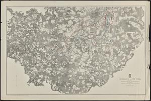
Current results range from
1482
to
2023
View distribution
Creator
United States. Hydrographic Office
595
O.H. Bailey & Co
148
Des Barres, Joseph F. W. (Joseph Frederick Wallet), 1722-1824
123
United States. Post Office Dept
120
Ptolemy, 2nd cent
100
Walling, Henry Francis, 1825-1888
94
Geological Survey (U.S.)
86
Jefferys, Thomas, -1771
86
more
Creator
»
Format
Maps/Atlases
8,654
Manuscripts
215
Prints
56
Books
36
Objects/Artifacts
10
Drawings/Illustrations
8
Posters
5
Georeferenced
Yes
869
No
7,845
Collection
Norman B. Leventhal Map & Education Center Collection
8,703
Boston and New England Maps
2,232
Urban Maps
2,023
Maritime Charts and Atlases
1,083
American Revolutionary War-Era Maps
626
Boston Redevelopment Authority Collection
87
David Judkins Weaver Papers
10
William L. Clements Library Collection
5
more
Collection
»
Available to use
No known restrictions
8,561
Creative Commons license
48
Search Constraints
Sort by relevance
relevance
title
date (asc)
date (desc)
Number of results to display per page
20 per page
10
per page
20
per page
50
per page
100
per page
View results as:
grid view
map view
Search Results
61.
Carte de la partie sud des Etats Unis de l'Amerique Septentrionale
62.
Florida from the latest authorities
63.
A general map of the southern British colonies in America comprehending North and South Carolina, Georgia, East and West...
64.
A map of the Indian nations in the southern department, 1766
65.
Map of the Southern provinces of the United States
66.
Map of the United States and their territory
67.
A map of West Florida and part of Et: Florida, Georgia part of So: Carolina i[n]cluding [torn] & Chactaw, Chickasaw & Creek...
68.
A new chart of America : with the harbors, of Port Royal and Savannah &c
69.
A new map of the Cherokee nation with the names of the towns & rivers : they are situated on no. lat. from 34 to 36
70.
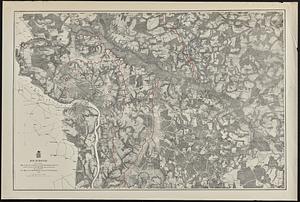
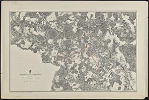
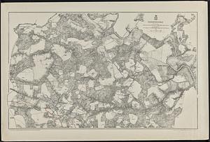
Antietam
71.
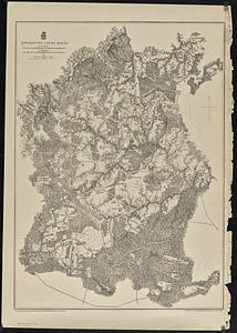
Appomattox Court House
72.
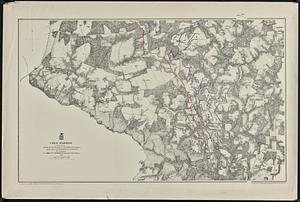
Cold Harbor
73.
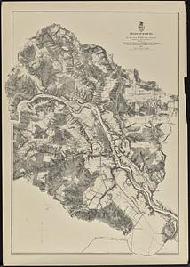
Fredericksburg
74.
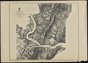
Harper's Ferry
75.
Petersburg and Five Forks
76.
Richmond
77.
Spottsylvania Court House
78.
Totopotomoy
79.
The Wilderness
80.
The 100th anniversary map of Abraham Lincoln's visit to Massachusetts, September 11-23, 1848
‹ Prev
Next ›
1
2
3
4
5
6
7
8
…
435
436


![A map of West Florida and part of Et: Florida, Georgia part of So: Carolina i[n]cluding [torn] & Chactaw, Chickasaw & Creek nations with [torn] [r]oad [torn] Pensacola through ye: Creek nation to Augusitus & Charlestown](https://bpldcassets.blob.core.windows.net/derivatives/metadata/commonwealth-oai:v98001375/image_thumbnail_300.jpg)