Toggle navigation
LMEC Home
Exhibitions
Georeferencing
Tools for Teachers
Collections
My Favorites
Sign Up / Log In
Search
Search the map portal
Map Collection
Map Collection
Map Sets
Search
Search
Search for
Search In
All Fields
Creator
Title
Subject
Place
Search All Digital Collections
Advanced Search
301 Results
My Search
Start Over
More Like
commonwealth:7h149z66c
Remove constraint More Like: commonwealth:7h149z66c
Filter your Search
Place
North and Central America
234
United States
169
New York
31
Suffolk (county)
31
Boston
29
Canada
29
North America
27
Charleston (county)
10
more
Place
»
Topic
North America--Maps--Early works to 1800
18
Boston (Mass.)--History--Revolution, 1775-1783--Maps--Early works to 1800
16
Vues d'optique
10
Gibraltar--History--Siege, 1779-1783--Maps--Early works to 1800
9
New York (N.Y.)--Pictorial works--Early works to 1800
9
United States--History--French and Indian War, 1754-1763--Maps--Early works to 1800
9
United States--Maps--Early works to 1800
9
Boston (Mass.)--Pictorial works--Early works to 1800
8
more
Topic
»
Date
Date range begin
–
Date range end
Current results range from
1740
to
1853
View distribution
Creator
Faden, William, 1749-1836
33
Jefferys, Thomas, -1771
31
Le Rouge, Georges-Louis
23
Des Barres, Joseph F. W. (Joseph Frederick Wallet), 1722-1824
21
Sayer, Robert, 1725-1794
20
Korn, Christoph Heinrich, 1726-1783
11
Raspe, Gabriel Nicolaus, 1712-1785
11
Simcoe, John Graves, 1752-1806
10
more
Creator
»
Format
Maps/Atlases
257
Prints
32
Manuscripts
24
Drawings/Illustrations
9
Books
2
Documents
1
Georeferenced
Yes
13
No
288
Collection
American Revolutionary War-Era Maps
299
Richard H. Brown Revolutionary War Map Collection at Mount Vernon
293
Boston and New England Maps
7
Norman B. Leventhal Map & Education Center Collection
4
Maritime Charts and Atlases
2
Urban Maps
2
American Antiquarian Society Collection
1
Library of Congress Collection
1
more
Collection
»
Available to use
Creative Commons license
294
No known restrictions
5
Search Constraints
Sort by relevance
relevance
title
date (asc)
date (desc)
Number of results to display per page
20 per page
10
per page
20
per page
50
per page
100
per page
View results as:
grid view
map view
Search Results
21.
Amérique septentrionale avec les routes, distances en miles, limites et etablissements françois et anglois
22.
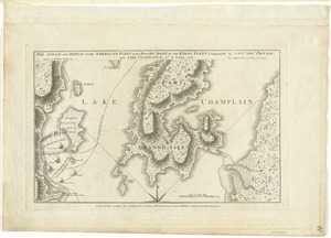
Amerique Septentrionale divisée en ses principales parties, ou sont distingués les vns des autres les estats suivant qu'il...
23.
Amérique Septentrionale dressée sur les relations les plus modernes des voyageurs et navigateurs, ou se remarquent les Etats...
24.
L'Amerique Septentrionale, ou se remarquent les Etats Unis
25.
Antigue : levée par Robert Baker, Arpenteur General de l'Isle ; traduit de l'Anglais
26.
The attack and defeat of the American fleet under Benedict Arnold, by the King's fleet commanded by Capt. Thos. Pringle, upon...
27.
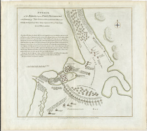
Attack of the rebels upon Fort Penobscot in the province of New England in which their fleet was totally destroyed and their...
28.
Attaque de l'armée des provinciaux dans Long Island du 27. Aoust 1776 : dessin de l'isle de New-York et des Etats
29.
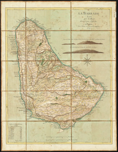
La Barbade
30.
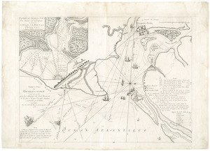
Barre et port de Charles-Town levé en 1776 : avec les attaques du Fort Sulivan du 28 juin 1776 par l'escadre anglaise...
31.
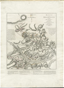
Battle of Brandywine in which the rebels were defeated, September the 11th. 1777, by the army under the command of General Sr....
32.
Baye de Chesapeake en 4 feuilles avec les bas fonds, passes, entrées, sondes et routes ou l'on donne les parties navigables...
33.
Baye et port de Boston
34.
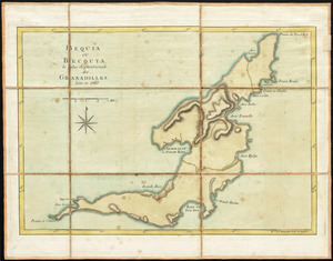
Bequia ou Becouya, le plus septentrionale des Granadilles : levé en 1763
35.
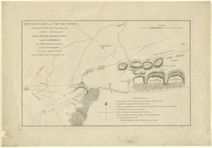
[Boston Neck, with the British lines and John Hancock's house]
36.
Bowles's new and accurate map of Europe, divided into it's [sic] empires, kingdoms, states, republicks and principalities :...
37.
Bowles's new and accurate map of North America and the West Indies : exhibiting the extent and boundaries of the United States,...
38.
British camp at Trudruffrin from the 18th. to the 21st. of September 1777 : with the attack made by Major General Grey against...
39.
[Cambridge with Washington's headquarters]
40.
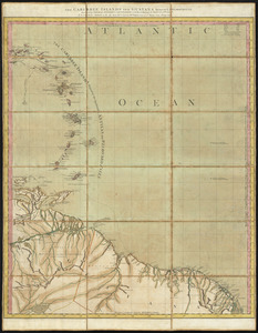
The Caribbee Islands and Guayana
‹ Prev
Next ›
1
2
3
4
5
6
…
15
16


![[Boston Neck, with the British lines and John Hancock's house]](https://bpldcassets.blob.core.windows.net/derivatives/images/commonwealth:dz010v61c/image_thumbnail_300.jpg)
![Bowles's new and accurate map of Europe, divided into it's [sic] empires, kingdoms, states, republicks and principalities](https://bpldcassets.blob.core.windows.net/derivatives/images/commonwealth:q524mt678/image_thumbnail_300.jpg)

![[Cambridge with Washington's headquarters]](https://bpldcassets.blob.core.windows.net/derivatives/images/commonwealth:dz010v63x/image_thumbnail_300.jpg)