Toggle navigation
LMEC Home
Exhibitions
Georeferencing
Tools for Teachers
Collections
My Favorites
Sign Up / Log In
Search
Search the map portal
Map Collection
Map Collection
Map Sets
Search
Search
Search for
Search In
All Fields
Creator
Title
Subject
Place
Search All Digital Collections
Advanced Search
8942 Results
My Search
Start Over
More Like
commonwealth:7h149x05f
Remove constraint More Like: commonwealth:7h149x05f
Filter your Search
Place
North and Central America
6,170
United States
5,088
Massachusetts
2,134
Europe
1,396
Suffolk (county)
1,207
Boston
1,180
Canada
464
Asia
438
more
Place
»
Topic
Boston (Mass.)--Maps
752
United States--Maps
330
Real property--Massachusetts--Boston--Maps
195
Massachusetts--Maps
166
City planning--Massachusetts--Boston--Maps
157
Landowners--Massachusetts--Boston--Maps
142
New England--Maps
104
North America--Maps--Early works to 1800
103
more
Topic
»
Date
Date range begin
–
Date range end
Current results range from
1482
to
2023
View distribution
Creator
United States. Hydrographic Office
595
Boston Redevelopment Authority
162
O.H. Bailey & Co
148
Des Barres, Joseph F. W. (Joseph Frederick Wallet), 1722-1824
124
United States. Post Office Dept
120
Ptolemy, 2nd cent
100
Walling, Henry Francis, 1825-1888
94
Geological Survey (U.S.)
88
more
Creator
»
Format
Maps/Atlases
8,882
Manuscripts
218
Prints
56
Books
36
Objects/Artifacts
10
Drawings/Illustrations
8
Posters
5
Georeferenced
Yes
887
No
8,055
Collection
Norman B. Leventhal Map & Education Center Collection
8,729
Boston and New England Maps
2,358
Urban Maps
2,143
Maritime Charts and Atlases
1,084
American Revolutionary War-Era Maps
707
Boston Redevelopment Authority Collection
191
William L. Clements Library Collection
43
Maps from AAS
33
more
Collection
»
Available to use
No known restrictions
8,670
Creative Commons license
76
Search Constraints
Sort by relevance
relevance
title
date (asc)
date (desc)
Number of results to display per page
20 per page
10
per page
20
per page
50
per page
100
per page
View results as:
grid view
map view
Search Results
6301.
Oxford Street, Chinatown
6302.
Oxonium comitatus, vulgo Oxford Shire
6303.
Ozark National Forest, Arkansas
6304.
P. McD. Collins' proposed overland telegraph : via Behrings Strait and asiatic Russia to Europe, under Russian & British grants
6305.
Pacific Ocean, Behrings Sea, Plover Bay : from a survey by Lieut. Maximov Imp! Russian Navy, 1876
6306.
Pacific Ocean, Friendly Islands, Tongatábu : from a British survey in 1852 ; republication of British Admty. chart no. 2363
6307.
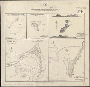
Pacific Ocean, islands of the Mariane and Caroline Groups : from a reconnaissance by the officers of the Imp. German Ship...
6308.
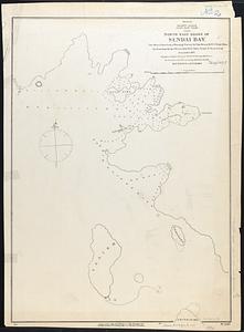
Pacific Ocean, Japan, east coast, north east shore of Sendai Bay
6309.
Pacific Ocean, New Zealand : from surveys in H.M. ships Acheron, & Pandora
6310.
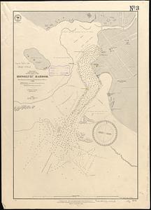
Pacific Ocean, Sandwich Islands, south coast of Oahu, Honolulu Harbor : from surveys by British and United States officers to 1888
6311.
Pacific Ocean, Solomon Is., part of the west coast of Bougainville Island
6312.
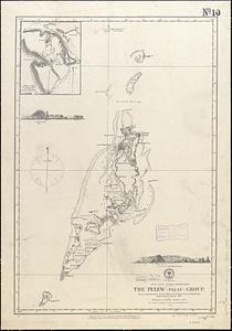
Pacific Ocean, western Caroline Islands, the Pelew (Palau) Group : from a reconnaissance by the officers of the Imp. German...
6313.
Païs cedés, sheet IId, containing the Peninsula & Gulf of Florida, with the Bahama Islands
6314.
Païs cedés, sheet Ist, containing the coast of Louisiana and Florida
6315.
Palatinatus ad Rhenum
6316.
[Palestina]
6317.
Palestine
6318.
Palestine or Canaan
6319.
Palmer
6320.
Pampanga
‹ Prev
Next ›
1
2
…
312
313
314
315
316
317
318
319
320
…
447
448


![[Palestina]](https://bpldcassets.blob.core.windows.net/derivatives/images/commonwealth:7h14b116r/image_thumbnail_300.jpg)


