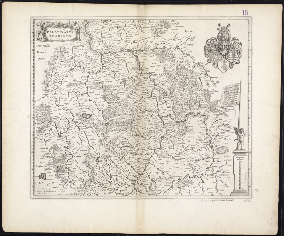
Palatinatus ad Rhenum
Item Information
- Title:
- Palatinatus ad Rhenum
- Title (alt.):
-
Palatinatvs ad Rhenvm
Collection of old maps
- Creator:
- Blaeu, Willem Janszoon, 1571-1638
- Date:
-
[1640]
- Format:
-
Maps/Atlases
- Location:
-
Boston Public Library
Norman B. Leventhal Map & Education Center - Collection (local):
-
Norman B. Leventhal Map & Education Center Collection
- Subjects:
-
Rhineland-Palatinate (Germany)--Maps--Early works to 1800
- Places:
-
GermanyRhineland Palatinate
- Extent:
- 1 map ; 41 x 49 cm.
- Terms of Use:
-
No known copyright restrictions.
No known restrictions on use.
- Publisher:
-
[Amsterdam] :
Apud Guiljelmum Blaeu
- Scale:
-
Scale [ca. 1:480,000]
- Language:
-
Latin
- Notes:
-
Map of the Rhineland-Palatinate region in western Germany.
Relief shown pictorially.
Verso is blank.
Variant c (1640) according to Koeman-Krogt.
Cataloging, conservation, and digitization made possible in part by The National Endowment for the Humanities: Exploring the human endeavor.
Part of composite portfolio atlas with title "Collection of old maps."
- Notes (date):
-
This date is inferred.
- Identifier:
-
06_01_009647
- Call #:
-
G1015 .C651 1630
- Barcode:
-
30000003874634


