Toggle navigation
LMEC Home
Exhibitions
Georeferencing
Tools for Teachers
Collections
My Favorites
Sign Up / Log In
Search
Search the map portal
Map Collection
Map Collection
Map Sets
Search
Search
Search for
Search In
All Fields
Creator
Title
Subject
Place
Search All Digital Collections
Advanced Search
8705 Results
My Search
Start Over
More Like
commonwealth:7h149w855
Remove constraint More Like: commonwealth:7h149w855
Filter your Search
Place
North and Central America
5,936
United States
4,854
Massachusetts
2,068
Europe
1,392
Suffolk (county)
1,041
Boston
1,014
Canada
472
Asia
437
more
Place
»
Topic
Boston (Mass.)--Maps
582
United States--Maps
327
Real property--Massachusetts--Boston--Maps
175
Massachusetts--Maps
161
Landowners--Massachusetts--Boston--Maps
133
New England--Maps
106
North America--Maps--Early works to 1800
103
Europe--Maps
79
more
Topic
»
Date
Date range begin
–
Date range end
Current results range from
1482
to
2023
View distribution
Creator
United States. Hydrographic Office
595
O.H. Bailey & Co
148
Des Barres, Joseph F. W. (Joseph Frederick Wallet), 1722-1824
123
United States. Post Office Dept
120
Ptolemy, 2nd cent
100
Walling, Henry Francis, 1825-1888
94
Geological Survey (U.S.)
87
Jefferys, Thomas, -1771
85
more
Creator
»
Format
Maps/Atlases
8,645
Manuscripts
215
Prints
56
Books
36
Objects/Artifacts
10
Drawings/Illustrations
8
Posters
5
Georeferenced
Yes
871
No
7,834
Collection
Norman B. Leventhal Map & Education Center Collection
8,652
Boston and New England Maps
2,221
Urban Maps
1,992
Maritime Charts and Atlases
1,083
American Revolutionary War-Era Maps
666
Boston Redevelopment Authority Collection
87
American Antiquarian Society Collection
23
William L. Clements Library Collection
20
more
Collection
»
Available to use
No known restrictions
8,508
Creative Commons license
50
Search Constraints
Sort by relevance
relevance
title
date (asc)
date (desc)
Number of results to display per page
20 per page
10
per page
20
per page
50
per page
100
per page
View results as:
grid view
map view
Search Results
21.
The United States of North America with the British & Spanish territories according to the treaty
22.
British America, comprehending Canada, Labrador, New-Foundland, Nova Scotia &c
23.
British possessions in North America
24.
The British possessions in North America from the best authorities
25.
The British possessions in North America from the best authorities
26.
Canada and Nova Scotia
27.
Canada and Nova Scotia
28.
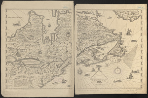
Carte de la Nouvelle-France, augmentée depuis la derniere, servant a la navigation faicte en son vray Meridien par le Sr. de...
29.
Coal areas of Canada
30.
Dawson's map of the Dominion of Canada
31.
Dominion of Canada
32.
E.P. Dutton & Co.'s railroad, steam boat & stage route map of New England, New-York and Canada
33.
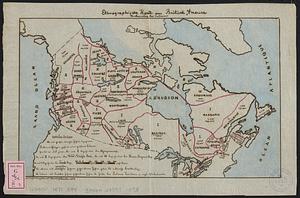
Ethnographische karte von Britisch America : verbreitung der indianer
34.
Government map of part of the Huron and Ottawa Territory, Ontario
35.
A map of Canada
36.
Map of the Dominion of Canada
37.
A map of the province of Upper Canada, describing all the new settlements, townships, & cc. with the countries adjacent, from...
38.
Map of the provinces of upper & lower Canada with the adjacent parts of the United States of America, &c
39.
Map shewing the railways of Canada, to accompany annual report on railway statistics 1884
40.
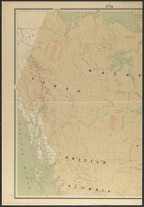
Map showing mounted police stations in north-western Canada
‹ Prev
Next ›
1
2
3
4
5
6
…
435
436