Toggle navigation
LMEC Home
Exhibitions
Georeferencing
Tools for Teachers
Collections
My Favorites
Sign Up / Log In
Search
Search the map portal
Map Collection
Map Collection
Map Sets
Search
Search
Search for
Search In
All Fields
Creator
Title
Subject
Place
Search All Digital Collections
Advanced Search
9052 Results
My Search
Start Over
More Like
commonwealth:7d27c9549
Remove constraint More Like: commonwealth:7d27c9549
Filter your Search
Place
North and Central America
6,283
United States
5,201
Massachusetts
2,155
Suffolk (county)
1,403
Europe
1,396
Boston
1,376
Canada
449
Asia
438
more
Place
»
Topic
Boston (Mass.)--Maps
677
City planning--Massachusetts--Boston--Maps
418
United States--Maps
282
Urban renewal--Massachusetts--Boston--Maps
252
Real property--Massachusetts--Boston--Maps
217
Massachusetts--Maps
162
Landowners--Massachusetts--Boston--Maps
136
North America--Maps--Early works to 1800
103
more
Topic
»
Date
Date range begin
–
Date range end
Current results range from
1482
to
2023
View distribution
Creator
United States. Hydrographic Office
595
Boston Redevelopment Authority
390
O.H. Bailey & Co
148
Des Barres, Joseph F. W. (Joseph Frederick Wallet), 1722-1824
123
United States. Post Office Dept
120
Ptolemy, 2nd cent
100
Walling, Henry Francis, 1825-1888
94
Geological Survey (U.S.)
86
more
Creator
»
Format
Maps/Atlases
8,991
Manuscripts
215
Prints
56
Books
36
Objects/Artifacts
10
Drawings/Illustrations
9
Posters
5
Georeferenced
Yes
870
No
8,182
Collection
Norman B. Leventhal Map & Education Center Collection
8,696
Boston and New England Maps
2,586
Urban Maps
2,373
Maritime Charts and Atlases
1,083
American Revolutionary War-Era Maps
620
Boston Redevelopment Authority Collection
438
William L. Clements Library Collection
3
Mapping Boston Collection
2
more
Collection
»
Available to use
No known restrictions
8,904
Creative Commons license
49
Search Constraints
Sort by relevance
relevance
title
date (asc)
date (desc)
Number of results to display per page
20 per page
10
per page
20
per page
50
per page
100
per page
View results as:
grid view
map view
Search Results
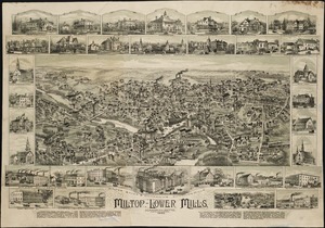
5221.
Milton, Lower Mills, Massachusetts : 1890
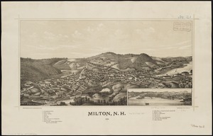
5222.
Milton, N.H : 1888
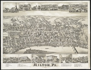
5223.
Milton, Pa
5224.
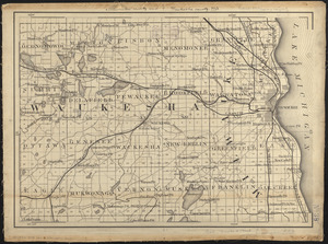
Milwaukee County and Waukesha County, Wis.
5225.
Minerals
5226.
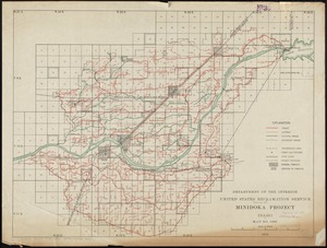
Minidoka Project, Idaho
5227.
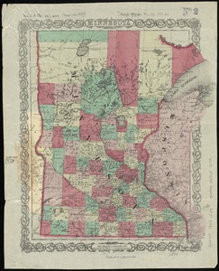
Minnesota
5228.
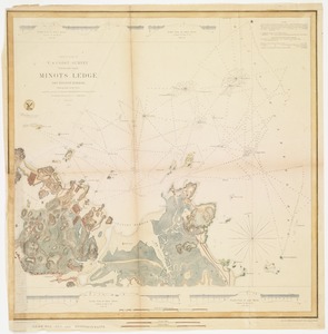
Minots Ledge off Boston Harbor : showing the proposed site of a light house
5229.
Miramichi Bay
5230.
Mississipi River, from Iberville to Yazous
5231.
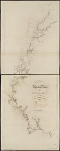
[Mississippi River near Vicksburg and vicinity]
5232.
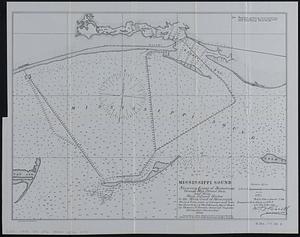
Mississippi Sound showing lines of soundings through Ship Island Pass, and from Ship Island Harbor to the main coast of...
5233.
Mississippi Territory and Georgia
5234.
Missouri Compromise, March 20, 1820, Vote on striking out provisions restricting slavery
5235.
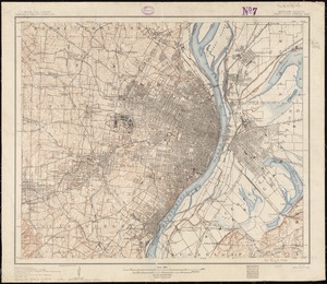
Missouri-Illinois, Saint Louis special map
5236.
Mitchell's national map of the American Republic or United States of North America : together with maps of the vicinities of...
5237.
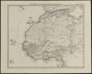
Mittel- und Nord-Africa, westl. theil
5238.
Mittel-America und Westindien
5239.
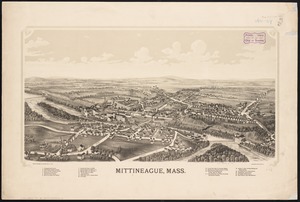
Mittineague, Mass
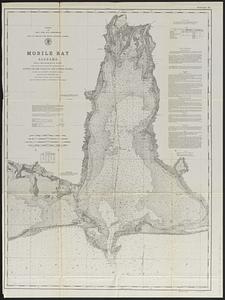
5240.
Mobile Bay, Alabama
‹ Prev
Next ›
1
2
…
258
259
260
261
262
263
264
265
266
…
452
453


![[Mississippi River near Vicksburg and vicinity]](https://bpldcassets.blob.core.windows.net/derivatives/images/commonwealth:6w924q741/image_thumbnail_300.jpg)