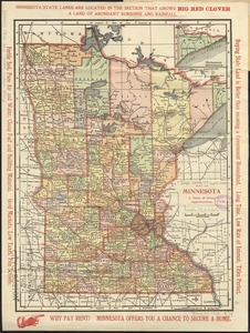
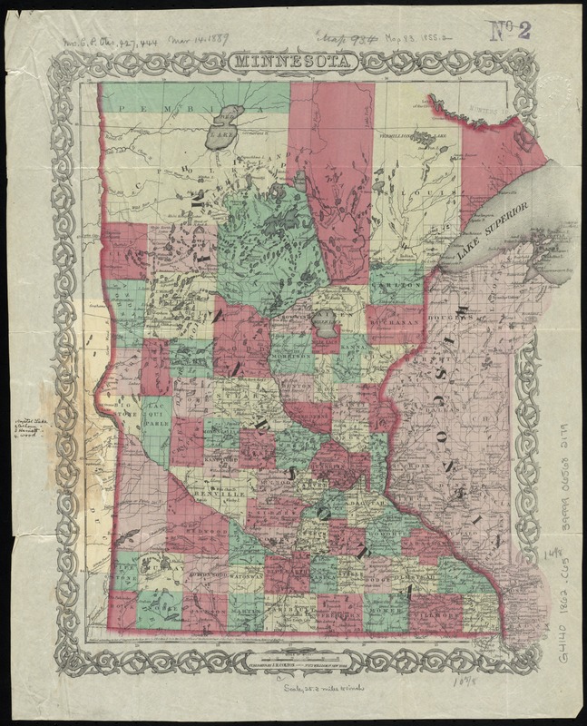
Minnesota
Item Information
- Title:
- Minnesota
- Description:
-
Shows county boundaries as of 1862.
- Creator:
- Colton, J. H. (Joseph Hutchins), 1800-1893
- Date:
-
[1862]
- Format:
-
Maps/Atlases
- Location:
-
Boston Public Library
Norman B. Leventhal Map & Education Center - Collection (local):
-
Norman B. Leventhal Map & Education Center Collection
- Subjects:
-
Minnesota--Maps
- Places:
-
Minnesota
- Extent:
- 1 map : hand col. ; 38 x 32 cm.
- Terms of Use:
-
No known copyright restrictions.
No known restrictions on use.
- Publisher:
-
New York :
J.H. Colton
- Scale:
-
Scale [ca. 1:1,625,000]
- Language:
-
English
- Notes:
-
Prime meridian: Washington.
"Entered according to Act of Congress in the year 1855 by J.H. Colton & Co. in the Clerks Office of the District Court of the United States for the Southern District of New York."
Includes ms. marking 4 lakes.
- Notes (date):
-
This date is inferred.
- Identifier:
-
06_01_011222
- Call #:
-
G4140 1862 .C65
- Barcode:
-
39999065682179