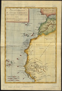
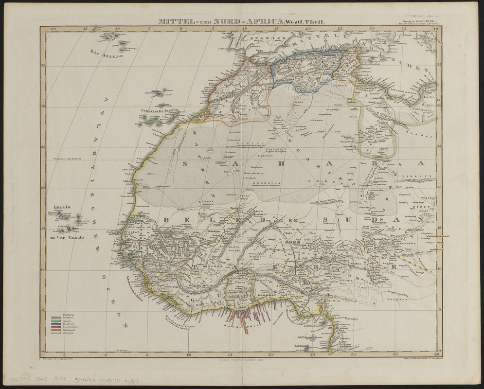
Mittel- und Nord-Africa, westl. theil
Item Information
- Title:
- Mittel- und Nord-Africa, westl. theil
- Title (alt.):
-
Mittel- und Nord-Africa, westlicher theil
- Cartographer:
- Stülpnagel, F. von
- Engraver:
- Behrens, W.
- Publisher:
- Justus Perthes (Firm : Gotha, Germany)
- Name on Item:
-
entw. u. gez. v. Fr. v. Stülpnagel ; gest. v. W. Behrens ; schrift v. F.I. Baumgarten
- Date:
-
1848
- Format:
-
Maps/Atlases
- Location:
-
Boston Public Library
Norman B. Leventhal Map & Education Center - Collection (local):
-
Norman B. Leventhal Map & Education Center Collection
- Subjects:
-
Africa, West--Maps
Africa, North--Maps
- Places:
-
West Africa (area)
North Africa (area)
- Extent:
- 1 map : hand color ; 32 x 38 cm
- Terms of Use:
-
No known copyright restrictions.
No known restrictions on use.
- Publisher:
-
[Gotha] :
[Justus Perthes]
- Scale:
-
Scale approximately 1:14,200,000
- Language:
-
German
- Notes:
-
Indicates colonial possessions.
Relief shown by hachures.
Prime meridian: [Ferro].
"Ausg. in 63 bl. no. LII. Stielers' Hand-Atlas (No. 45a)."
- Identifier:
-
06_01_014622
- Call #:
-
G8735 1848 .S78
- Barcode:
-
39999065704684