Toggle navigation
LMEC Home
Exhibitions
Georeferencing
Tools for Teachers
Collections
My Favorites
Sign Up / Log In
Search
Search the map portal
Map Collection
Map Collection
Map Sets
Search
Search
Search for
Search In
All Fields
Creator
Title
Subject
Place
Search All Digital Collections
Advanced Search
621 Results
My Search
Start Over
More Like
commonwealth:6q188644j
Remove constraint More Like: commonwealth:6q188644j
Filter your Search
Place
North and Central America
491
United States
249
North America
240
Canada
76
West Indies
60
New York
26
Asia
19
Pennsylvania
18
more
Place
»
Topic
North America--Maps--Early works to 1800
240
West Indies--Maps--Early works to 1800
63
United States--Maps--Early works to 1800
58
Canada--Maps--Early works to 1800
50
Great Britain--Colonies--America--Maps--Early works to 1800
22
Caribbean Area--Maps--Early works to 1800
17
Great Lakes Region (North America)--Maps--Early works to 1800
14
Northeastern States--Maps--Early works to 1800
12
more
Topic
»
Date
Date range begin
–
Date range end
Current results range from
1528
to
1999
View distribution
Creator
Jefferys, Thomas, -1771
32
Sayer, Robert, 1725-1794
23
Mitchell, John, 1711-1768
22
Gibson, J. (John), active 1750-1792
18
Anville, Jean Baptiste Bourguignon d', 1697-1782
17
Bellin, Jacques Nicolas, 1703-1772
17
Moll, Herman, d. 1732
15
Robert Sayer and John Bennett (Firm)
15
more
Creator
»
Format
Maps/Atlases
619
Manuscripts
8
Paintings
3
Ephemera
1
Objects/Artifacts
1
Prints
1
Georeferenced
Yes
14
No
607
Collection
American Revolutionary War-Era Maps
475
MacLean Collection Map Library
379
Norman B. Leventhal Map & Education Center Collection
166
New York Public Library Collection
34
Richard H. Brown Revolutionary War Map Collection at Mount Vernon
20
Maritime Charts and Atlases
12
Mapping Boston Collection
10
Sidney R. Knafel Map Collection at Phillips Academy
8
more
Collection
»
Available to use
No known restrictions
160
Creative Commons license
69
Search Constraints
Sort by relevance
relevance
title
date (asc)
date (desc)
Number of results to display per page
20 per page
10
per page
20
per page
50
per page
100
per page
View results as:
grid view
map view
Search Results
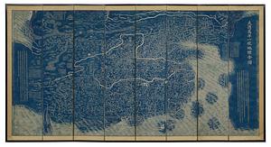
381.
Daqing wannian yitong dili quantu
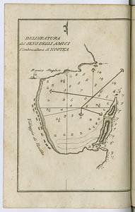
382.
Delineatura del Seno degli Amici l'imboccatura di Nootka
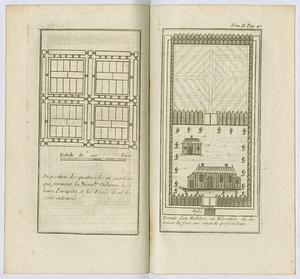
383.
Disposition des quatre isles ou quartiers qui forment la Nouvlle. Orleans avec leurs parapets et les fosses dont its sont...
384.
Dongguk yojido
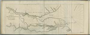
385.
A draught of Nelson & Hayes's Rivers latd. 57°. 10'. north, var. 16°. 45'. westerly
386.
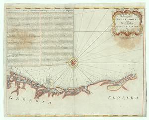
A draught of South Carolina and Georgia from Sewee to St. Estaca
387.
Esquisse des rivieres Muskinghum et Grand Castor que j'ai tiree du journal du General Bouquet, des papiers que m'ont confies...
388.
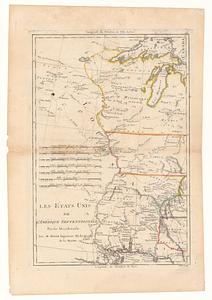
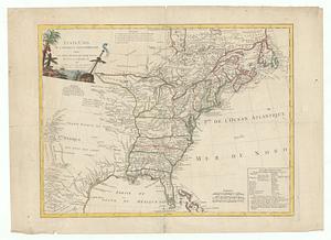
Les Etats Unis de l'Amérique Septentrional partie occidentale ; les Etats Unis de l'Amérique Septentrional partie orientale
389.
Etats-Unis de l'Amérique Septentrionale avec les Isles Royale, de Terre Neuve, de S.t Jean, l'Acadie, &c.
390.
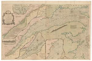
An exact chart of the river S.t Laurence, from Fort Frontenac to the island of Anticosti shewing the soundings, rocks, shoals...
391.
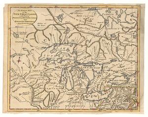
An exact map of the five great lakes, with part of Pensilvania, New York, Canada and Hudson Bay territories : from the best...
392.
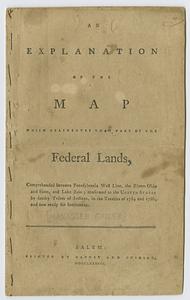
An explanation of the map which delineates that part of the federal lands, comprehended between Pennsylvania west line, the...
393.
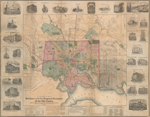
F. Klemm's map of Baltimore and the proposed extension of the city limits
394.
General karte von Nord America samt den Westindischen Inseln
395.
A general map of South America : drawn from the best surveys
396.
A general map of the Middle British Colonies, in America: viz Virginia, Mariland, Delaware, Pensilvania, New-Jersey, New-York,...
397.
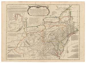
A general map of the Middle British Colonies in America viz. Virginia, Maryland, Delaware, Pensilvania, New-Jersey New York,...
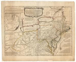
398.
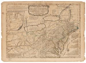
A general map of the Middle British Colonies in America viz. Virginia, Maryland, Delaware, Pensilvania, New-Jersey New York,...
399.
A general map of the Middle British Colonies in America viz. Virginia, Maryland, Delaware, Pensilvania, of Aquanishuonigy the...
400.
A general map of the Middle British Colonies in America viz. Virginia, Maryland, Delaware, Pensilvania, of Aquanishuonigy the...
‹ Prev
Next ›
1
2
…
16
17
18
19
20
21
22
23
24
…
31
32