Toggle navigation
LMEC Home
Exhibitions
Georeferencing
Tools for Teachers
Collections
My Favorites
Sign Up / Log In
Search
Search the map portal
Map Collection
Map Collection
Map Sets
Search
Search
Search for
Search In
All Fields
Creator
Title
Subject
Place
Search All Digital Collections
Advanced Search
8809 Results
My Search
Start Over
More Like
commonwealth:6h446z087
Remove constraint More Like: commonwealth:6h446z087
Filter your Search
Place
North and Central America
6,040
United States
4,958
Massachusetts
2,091
Europe
1,396
Suffolk (county)
1,160
Boston
1,133
Canada
449
Asia
438
more
Place
»
Topic
Boston (Mass.)--Maps
607
United States--Maps
282
Real property--Massachusetts--Boston--Maps
254
Landowners--Massachusetts--Boston--Maps
170
Massachusetts--Maps
162
City planning--Massachusetts--Boston--Maps
139
North America--Maps--Early works to 1800
103
New England--Maps
102
more
Topic
»
Date
Date range begin
–
Date range end
Current results range from
1482
to
2023
View distribution
Creator
United States. Hydrographic Office
595
O.H. Bailey & Co
148
Boston Redevelopment Authority
141
Des Barres, Joseph F. W. (Joseph Frederick Wallet), 1722-1824
123
United States. Post Office Dept
120
Ptolemy, 2nd cent
100
Walling, Henry Francis, 1825-1888
94
Geological Survey (U.S.)
86
more
Creator
»
Format
Maps/Atlases
8,749
Manuscripts
215
Prints
56
Books
36
Objects/Artifacts
10
Drawings/Illustrations
8
Posters
5
Georeferenced
Yes
870
No
7,939
Collection
Norman B. Leventhal Map & Education Center Collection
8,698
Boston and New England Maps
2,312
Urban Maps
2,101
Maritime Charts and Atlases
1,083
American Revolutionary War-Era Maps
616
Boston Redevelopment Authority Collection
163
Massachusetts Real Estate Atlases
35
Applied Geographics, Inc. Records
2
more
Collection
»
Available to use
No known restrictions
8,631
Creative Commons license
48
Search Constraints
Sort by relevance
relevance
title
date (asc)
date (desc)
Number of results to display per page
20 per page
10
per page
20
per page
50
per page
100
per page
View results as:
grid view
map view
Search Results
6481.
Plan of Springfield
6482.
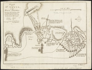
Plan of St. Lucia, in the West Indies : shewing the positions of the English and French forces with the attacks made at its...
6483.
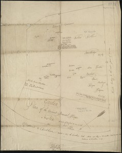
Plan of Stephen W. and Francis Jackson's farm in Newton, 6 1/2 miles from Boston
6484.
Plan of Suffolk Street District : showing estates & buildings as proposed to be taken by the City of Boston under the Act of...
6485.
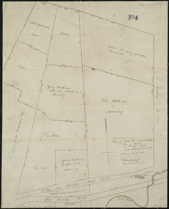
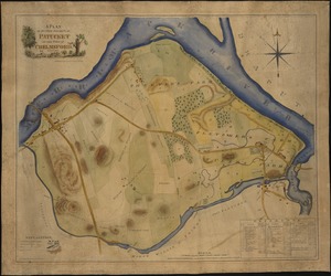
A plan of sundry farms etc. at Patucket in the town of Chelmsford
6486.
A plan of the action at Breeds Hill, on the 17th of June 1775 : between the American forces and the British troops :...
6487.
A plan of the action at Bunkers Hill on the 17th of June 1775 between His Majesty's troops, under the command of Major General...
6488.
A plan of the action at Bunkers Hill on the 17th of June 1775 between His Majesty's troops, under the command of Major General...
6489.
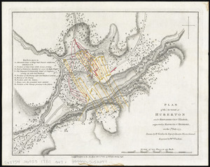
Plan of the action at Huberton under Brigadier Genl. Frazer, supported by Major Genl. Reidesel, on the 7th July 1777
6490.
Plan of the ancient burial place Newton
6491.
Plan of the Arnold Arboretum Jamaica Plain Mass
6492.
Plan of the attack against Basseterre on the island of Guadeloupe by a squadron of his Majesty's ships of war commanded by...
6493.
Plan of the attack against Fort Louis now Fort George, at Point à Pitre on the island of Guadaloupe : by a squadron of His...
6494.
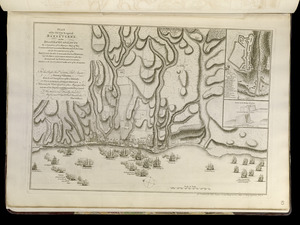
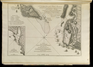
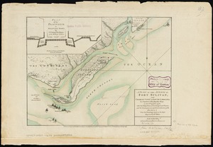
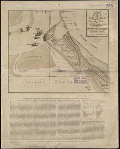
A plan of the attack of Fort Sulivan, near Charles Town in South Carolina : by a squadron of His Majesty's ships, on the 28th...
6495.
A plan of the attack of Fort Sulivan, the key of Charlestown, in South Carolina, on the 28th. of June 1776 : by His Majesty's...
6496.
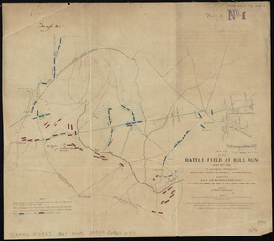
Plan of the battle field at Bull Run, July 21st 1861 : to accompany the report of Brigr. Genl. Irvin McDowell, commanding ; map 1
6497.
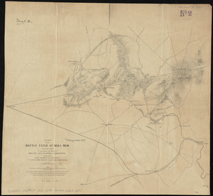
Plan of the battle field at Bull Run, July 21st 1861 : to accompany the report of Brigr. Genl. Irvin McDowell, commanding ; map 2
6498.
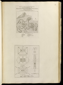
Plan of the battle near Bushy Run, gained by Colonel Bouquet over the Delawares, Shawanese, Mingoes, Wyandots, Mohikons,...
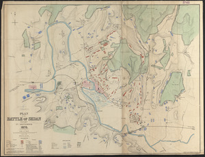
6499.
Plan of the battle of Sedan fought 1st September 1870
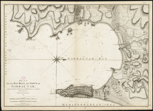
6500.
Plan of the bay, rock and town of Gibraltar, from an actual survey by an officer who was at Gibraltar from 1769 to 1775
‹ Prev
Next ›
1
2
…
321
322
323
324
325
326
327
328
329
…
440
441