Toggle navigation
LMEC Home
Exhibitions
Georeferencing
Tools for Teachers
Collections
My Favorites
Sign Up / Log In
Search
Search the map portal
Map Collection
Map Collection
Map Sets
Search
Search
Search for
Search In
All Fields
Creator
Title
Subject
Place
Search All Digital Collections
Advanced Search
8781 Results
My Search
Start Over
More Like
commonwealth:6h446w43d
Remove constraint More Like: commonwealth:6h446w43d
Filter your Search
Place
North and Central America
6,012
United States
4,930
Massachusetts
2,091
Europe
1,396
Suffolk (county)
1,132
Boston
1,105
Canada
449
Asia
438
more
Place
»
Topic
Boston (Mass.)--Maps
606
United States--Maps
282
Real property--Massachusetts--Boston--Maps
254
Landowners--Massachusetts--Boston--Maps
170
Massachusetts--Maps
162
City planning--Massachusetts--Boston--Maps
113
North America--Maps--Early works to 1800
103
New England--Maps
102
more
Topic
»
Date
Date range begin
–
Date range end
Current results range from
1482
to
2023
View distribution
Creator
United States. Hydrographic Office
595
O.H. Bailey & Co
148
Des Barres, Joseph F. W. (Joseph Frederick Wallet), 1722-1824
123
United States. Post Office Dept
120
Boston Redevelopment Authority
113
Ptolemy, 2nd cent
100
Walling, Henry Francis, 1825-1888
94
Geological Survey (U.S.)
86
more
Creator
»
Format
Maps/Atlases
8,721
Manuscripts
215
Prints
56
Books
36
Objects/Artifacts
10
Drawings/Illustrations
8
Posters
5
Georeferenced
Yes
869
No
7,912
Collection
Norman B. Leventhal Map & Education Center Collection
8,697
Boston and New England Maps
2,284
Urban Maps
2,073
Maritime Charts and Atlases
1,083
American Revolutionary War-Era Maps
616
Boston Redevelopment Authority Collection
136
Massachusetts Real Estate Atlases
35
Applied Geographics, Inc. Records
2
Available to use
No known restrictions
8,604
Creative Commons license
47
Search Constraints
Sort by relevance
relevance
title
date (asc)
date (desc)
Number of results to display per page
20 per page
10
per page
20
per page
50
per page
100
per page
View results as:
grid view
map view
Search Results
2781.
Grundriss der stadt und der forts von St. Jago od. Jacob
2782.
Grundriss des nördlichen Theils der Neujorks Insel nebst den am 16. Novbr. 1776. eroberten Fort Washington nun das Fort...
2783.
Grundriss von der bay der insel St. Vincent einer von den Eylanden des grünen Vorgebirges
2784.
Grundriss von der stadt Boston und ihren gegenden
2785.
Grundriss von Philadelphia der hauptstadt in Pensylvanien und umliegenden Gegend
2786.
Guadaloupe, done from actual surveys and observations of the English : whilst the island was in their possession
2787.
Guadaloupe, one of the Caribbee Islands subject to France in the West Indies
2788.
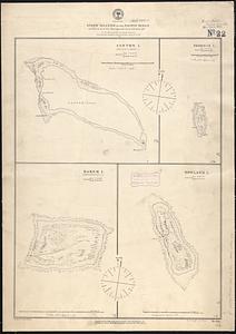
Guano islands in the Pacific Ocean
2789.
Guatemala and Salvador from a drawing by International Railways of Central America
2790.
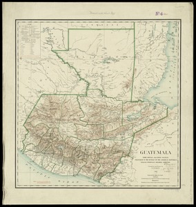
Guatemala, from official and other sources
2791.
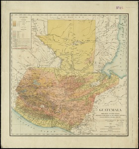
Guatemala, from official and other sources
2792.
Guerre d'orient, Balkans, Asie Mineure, Perse
2793.
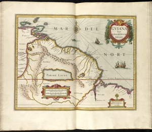
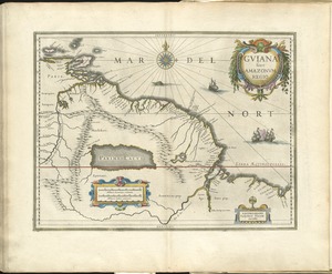
Guiana siue Amazonum regio
2794.
Guiana siue Amazonum regio
2795.
Guiana sive Amazonum regio
2796.
Guide map of Boston
2797.
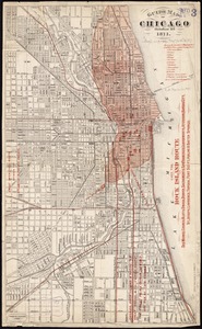
Guide map of Chicago, October 11th, 1871
2798.
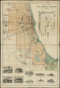
Guide map of new Chicago and suburbs
2799.
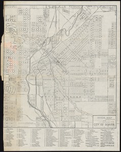
Guide map of the city of Denver
2800.
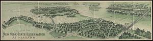
Guide of the New York State Reservation at Niagara
‹ Prev
Next ›
1
2
…
136
137
138
139
140
141
142
143
144
…
439
440