Toggle navigation
LMEC Home
Exhibitions
Georeferencing
Tools for Teachers
Collections
My Favorites
Sign Up / Log In
Search
Search the map portal
Map Collection
Map Collection
Map Sets
Search
Search
Search for
Search In
All Fields
Creator
Title
Subject
Place
Search All Digital Collections
Advanced Search
8695 Results
My Search
Start Over
More Like
commonwealth:4m90fp94z
Remove constraint More Like: commonwealth:4m90fp94z
Filter your Search
Place
North and Central America
5,926
United States
4,844
Massachusetts
2,079
Europe
1,396
Suffolk (county)
1,046
Boston
1,019
Canada
449
Asia
439
more
Place
»
Topic
Boston (Mass.)--Maps
586
United States--Maps
282
Real property--Massachusetts--Boston--Maps
175
Massachusetts--Maps
162
Landowners--Massachusetts--Boston--Maps
133
North America--Maps--Early works to 1800
103
New England--Maps
102
Europe--Maps
79
more
Topic
»
Date
Date range begin
–
Date range end
Current results range from
1482
to
2023
View distribution
Creator
United States. Hydrographic Office
595
O.H. Bailey & Co
148
Des Barres, Joseph F. W. (Joseph Frederick Wallet), 1722-1824
123
United States. Post Office Dept
120
Ptolemy, 2nd cent
100
Walling, Henry Francis, 1825-1888
94
Geological Survey (U.S.)
86
Jefferys, Thomas, -1771
85
more
Creator
»
Format
Maps/Atlases
8,635
Manuscripts
215
Prints
56
Books
36
Objects/Artifacts
10
Drawings/Illustrations
8
Posters
5
Georeferenced
Yes
869
No
7,826
Collection
Norman B. Leventhal Map & Education Center Collection
8,694
Boston and New England Maps
2,233
Urban Maps
2,023
Maritime Charts and Atlases
1,083
American Revolutionary War-Era Maps
616
Boston Redevelopment Authority Collection
87
Sidney R. Knafel Map Collection at Phillips Academy
1
Available to use
No known restrictions
8,552
Creative Commons license
47
Search Constraints
Sort by relevance
relevance
title
date (asc)
date (desc)
Number of results to display per page
20 per page
10
per page
20
per page
50
per page
100
per page
View results as:
grid view
map view
Search Results
2241.
États Unis
2242.
Ethnographical map of Hungary based on the density of population
2243.
Ethnographische karte von Britisch America : verbreitung der indianer
2244.
Europ, and the cheife cities contayned therin, described; with the habits of most kingdoms now in use
2245.
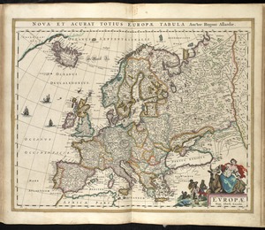
Europa exactissime descripta
2246.
Europae
2247.
Europae
2248.
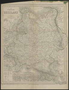
Das Europäische Russland
2249.
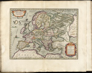
Europam sive Celticam veterem
2250.
Europe
2251.
Europe, Africa and the Far East
2252.
Europe in search of new routes to India and China, 1486-1616 A.D.
2253.
Europe showing the proposed new states
2254.
European war map
2255.
Evêché de Dijon
2256.
The Evening Post map of the West Indies
2257.
L'Evesche d'Aire
2258.
L'Evesché de Blois, dìvìsé en archìdìaconéz et doyennéz
2259.
L'Evesché de Blois, divisé en Archidiaconéz et Doyennéz
2260.
L'Evesché de Chartres dìvìsee en archìdìaconéz et doyennéz
‹ Prev
Next ›
1
2
…
109
110
111
112
113
114
115
116
117
…
434
435