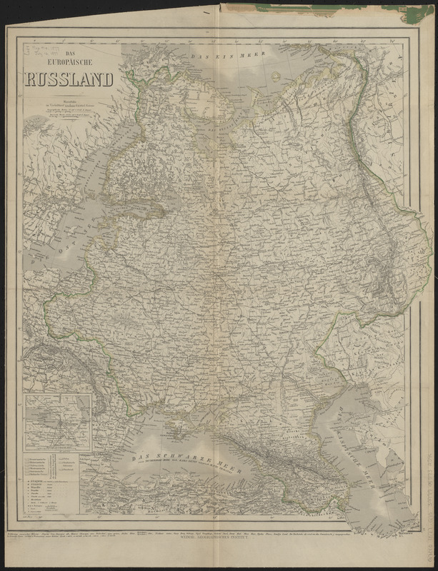
Das Europäische Russland
Item Information
- Title:
- Das Europäische Russland
- Title (alt.):
-
Hand- u. eisenbahnkarte von Europ-Russland
- Cartographer:
- Gräf, Carl
- Publisher:
- Geographisches Institut (Weimar, Thuringia, Germany)
- Name on Item:
-
bearbeitet von Carl Gräf
- Date:
-
1877
- Format:
-
Maps/Atlases
- Location:
-
Boston Public Library
Norman B. Leventhal Map & Education Center - Collection (local):
-
Norman B. Leventhal Map & Education Center Collection
- Subjects:
-
Russia, Western--Maps
- Places:
-
Russia
- Extent:
- 1 map : color ; 56 x 46 cm, folded in cover 25 x 12 cm
- Terms of Use:
-
No known copyright restrictions.
No known restrictions on use.
- Publisher:
-
Weimar :
Geographisches Institut
- Scale:
-
Scale 1:6,588,000
- Language:
-
German
- Notes:
-
Responsibility and edition statements from cover.
Relief shown by hachures.
Prime meridian: Paris.
Inset: [St. Petersburg und umgebung].
In lower right margin: 47.
- Identifier:
-
06_01_015190
- Call #:
-
G7010 1877 .G73
- Barcode:
-
39999085932596