Toggle navigation
LMEC Home
Exhibitions
Georeferencing
Tools for Teachers
Collections
My Favorites
Sign Up / Log In
Search
Search the map portal
Map Collection
Map Collection
Map Sets
Search
Search
Search for
Search In
All Fields
Creator
Title
Subject
Place
Search All Digital Collections
Advanced Search
8700 Results
My Search
Start Over
More Like
commonwealth:4m90fj03p
Remove constraint More Like: commonwealth:4m90fj03p
Filter your Search
Place
North and Central America
5,931
United States
4,847
Massachusetts
2,079
Europe
1,396
Suffolk (county)
1,046
Boston
1,019
Canada
449
Asia
438
more
Place
»
Topic
Boston (Mass.)--Maps
586
United States--Maps
282
Real property--Massachusetts--Boston--Maps
175
Massachusetts--Maps
162
Landowners--Massachusetts--Boston--Maps
133
North America--Maps--Early works to 1800
103
New England--Maps
102
Europe--Maps
79
more
Topic
»
Date
Date range begin
–
Date range end
Current results range from
1482
to
2023
View distribution
Creator
United States. Hydrographic Office
595
O.H. Bailey & Co
148
Des Barres, Joseph F. W. (Joseph Frederick Wallet), 1722-1824
123
United States. Post Office Dept
120
Ptolemy, 2nd cent
100
Walling, Henry Francis, 1825-1888
94
Geological Survey (U.S.)
86
Jefferys, Thomas, -1771
85
more
Creator
»
Format
Maps/Atlases
8,640
Manuscripts
215
Prints
56
Books
36
Objects/Artifacts
10
Drawings/Illustrations
8
Posters
5
Georeferenced
Yes
869
No
7,831
Collection
Norman B. Leventhal Map & Education Center Collection
8,694
Boston and New England Maps
2,233
Urban Maps
2,023
Maritime Charts and Atlases
1,083
American Revolutionary War-Era Maps
622
Boston Redevelopment Authority Collection
87
William L. Clements Library Collection
6
Available to use
No known restrictions
8,552
Creative Commons license
47
Search Constraints
Sort by relevance
relevance
title
date (asc)
date (desc)
Number of results to display per page
20 per page
10
per page
20
per page
50
per page
100
per page
View results as:
grid view
map view
Search Results
1.
American explorations in the West, 1803-1852
2.
Bancroft's map of the Rocky Mountain states, and the Pacific coast
3.
The Chevron trail through the scenic west
4.
Great Northern Railway and proprietary lines
5.
Louisiana
6.
Map of a tour from Independence to Santa Fé, Chihuahua, Monterey and Matamoros
7.
Map of Oregon and upper California, from the surveys of John Charles Frémont and other authorities
8.
Map of routes for a Pacific railroad
9.
Map of the Atchison Topeka and Santa Fe Railroad and its leased lines
10.
Map of the United States and their territories between the Mississippi and the Pacific Ocean; and part of Mexico
11.
Map seventh division railway mail service
12.
Map showing the Atchison, Topeka and Santa Fe railroad system : with its connections
13.
A new map of Nebraska, Kansas, New Mexico, and Indian Territories
14.
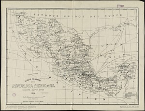
Carta general de la República Mexicana conforme a últimos datos
15.
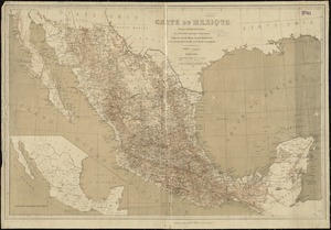
Carte du Mexique
16.
Carte du Mexique et des pays limitrophes situés au nord et à l'est : dressée d'après la grande carte de la Nouvelle Espagne...
17.
Carte générale du royaume de la Nouvelle Espagne depuis le parallèle de 16° jusqu'au parallèle de 38° (latitude nord)
18.
Case's map of the United States, the British provinces, Mexico, and part of the West Indies : compiled from the latest...
19.
Colton's map of the United States of America, the British provinces, Mexico and the West Indies : showing the country from the...
20.
A correct map of the seat of war in Mexico : being a copy of Genl. Arista's map, taken at Resaca de la Palma, with additions...
‹ Prev
Next ›
1
2
3
4
5
…
434
435