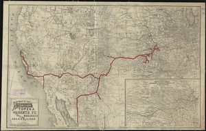
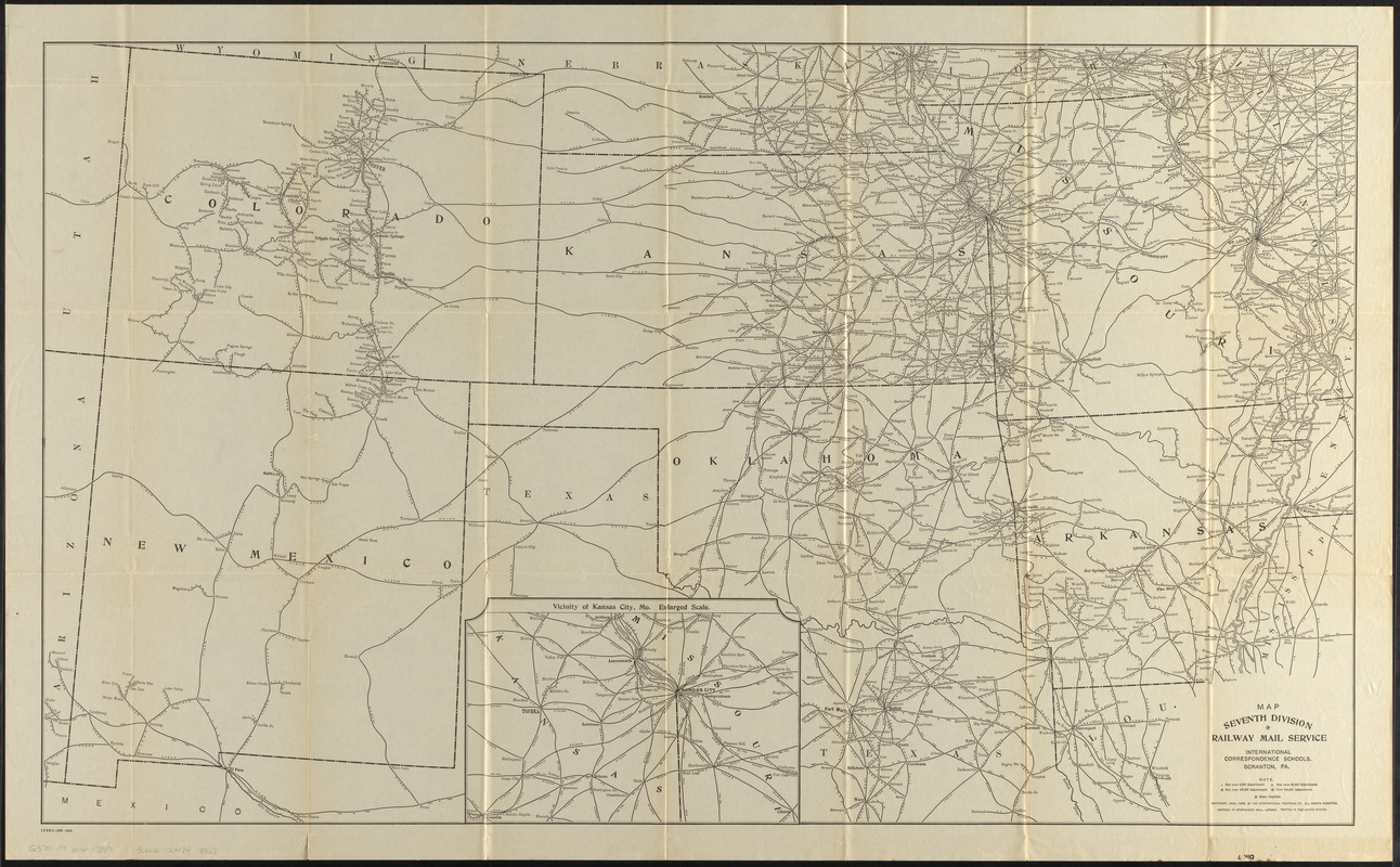
Map seventh division railway mail service
Item Information
- Title:
- Map seventh division railway mail service
- Title (alt.):
-
Seventh Division railway mail service
Div. 7
- Description:
-
Map showing railway mail service lines in the Western states (principally Missouri, Arkansas, Kansas, Oklahoma, Colorado, and New Mexico) in the early 20th century.
- Cartographer:
- International Correspondence Schools
- Engraver:
- Fisk, E. F.
- Copyright holder:
- International Textbook Company
- Name on Item:
-
International Correspondence Schools
- Date:
-
1909
- Format:
-
Maps/Atlases
- Location:
-
Boston Public Library
Norman B. Leventhal Map & Education Center - Collection (local):
-
Norman B. Leventhal Map & Education Center Collection
- Subjects:
-
Postal service--West (U.S.)--Maps
Railroads--West (U.S.)--Maps
Railway mail service--West (U.S.)--Maps
Railway mail service--Arkansas--Maps
Railway mail service--Colorado--Maps
Railway mail service--Kansas--Maps
Railway mail service--Missouri--Maps
Railway mail service--New Mexico--Maps
Railway mail service--Oklahoma--Maps
West (U.S.)--Maps
- Places:
-
Colorado
Kansas
Missouri
New Mexico
Oklahoma
- Extent:
- 1 map ; 60 x 101 cm
- Terms of Use:
-
No known copyright restrictions.
No known restrictions on use.
- Publisher:
-
Scranton, Pennsylvania :
International Correspondence Schools
- Scale:
-
Scale approximately 1:1,900,000
- Language:
-
English
- Notes:
-
Inset: Vicinity of Kansas City, Mo. enlarged scale.
Copyright assigned to the International Textbook Company.
"Entered at Stationers' Hall, London -- Printed in the United States."
"ICSRL 129B-3242."
Part of the I.C.S. reference library maps set.
- Identifier:
-
06_01_014813
- Call #:
-
G3701.P8 svar .I57
- Barcode:
-
30000004748869