Toggle navigation
LMEC Home
Exhibitions
Georeferencing
Tools for Teachers
Collections
My Favorites
Sign Up / Log In
Search
Search the map portal
Map Collection
Map Collection
Map Sets
Search
Search
Search for
Search In
All Fields
Creator
Title
Subject
Place
Search All Digital Collections
Advanced Search
9088 Results
My Search
Start Over
More Like
commonwealth:4j03gh12z
Remove constraint More Like: commonwealth:4j03gh12z
Filter your Search
Place
North and Central America
6,319
United States
5,237
Massachusetts
2,156
Suffolk (county)
1,439
Boston
1,412
Europe
1,396
Canada
449
Asia
438
more
Place
»
Topic
Boston (Mass.)--Maps
687
City planning--Massachusetts--Boston--Maps
418
United States--Maps
282
Urban renewal--Massachusetts--Boston--Maps
252
Real property--Massachusetts--Boston--Maps
251
Landowners--Massachusetts--Boston--Maps
169
Massachusetts--Maps
162
Buildings--Massachusetts--Boston--Maps
125
more
Topic
»
Date
Date range begin
–
Date range end
Current results range from
1482
to
2023
View distribution
Creator
United States. Hydrographic Office
595
Boston Redevelopment Authority
391
O.H. Bailey & Co
148
Des Barres, Joseph F. W. (Joseph Frederick Wallet), 1722-1824
123
United States. Post Office Dept
120
Ptolemy, 2nd cent
100
Walling, Henry Francis, 1825-1888
94
Geological Survey (U.S.)
86
more
Creator
»
Format
Maps/Atlases
9,028
Manuscripts
215
Prints
56
Books
36
Objects/Artifacts
10
Drawings/Illustrations
8
Posters
5
Georeferenced
Yes
870
No
8,218
Collection
Norman B. Leventhal Map & Education Center Collection
8,697
Boston and New England Maps
2,589
Urban Maps
2,376
Maritime Charts and Atlases
1,083
American Revolutionary War-Era Maps
620
Boston Redevelopment Authority Collection
440
Massachusetts Real Estate Atlases
34
William L. Clements Library Collection
3
more
Collection
»
Available to use
No known restrictions
8,907
Creative Commons license
49
Search Constraints
Sort by relevance
relevance
title
date (asc)
date (desc)
Number of results to display per page
20 per page
10
per page
20
per page
50
per page
100
per page
View results as:
grid view
map view
Search Results
481.
Southwest corridor restudy
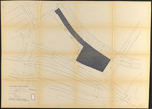
482.
St. James Avenue garage parcel
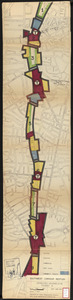
483.
T-N.E.M.C. properties acquired 1945-58
484.
Traffic circulation plan parcel 7 : Government Center project
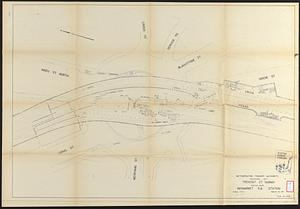
485.
Tremont St. subway Boston, Mass. Haymarket Sq. Station
486.
Utility map, Washington Park project r-24
487.
Washington Park urban renewal area : existing land use
488.
Washington Park urban renewal area : treatment sections
489.
Washington Park urban renewal area : proposed treatment sections
490.
Washington Park urban renewal area : report on feasibility of placing utility services underground
491.
Washington Park urban renewal area r-24 : proposed treatment section boundaries
492.
Washington Park urban renewal area r-24 : zone district changes plan
493.
Washington Park urban renewal area r-24 : property map
494.
Washington Park urban renewal area r-24 : proposed zoning plan
495.
Washington Park urban renewal area r-24 : existing zoning
496.
Waterfront project, Pierhead Line, Boston, Mass.
497.
The 100th anniversary map of Abraham Lincoln's visit to Massachusetts, September 11-23, 1848
498.
1630 shoreline
499.
1879. Progress map of the U.S. Geographical Surveys west of the 100th Meridian : prepared under the direction of 1st Lieut....
500.
1903 Map of Salem and surrounding places
‹ Prev
Next ›
1
2
…
21
22
23
24
25
26
27
28
29
…
454
455