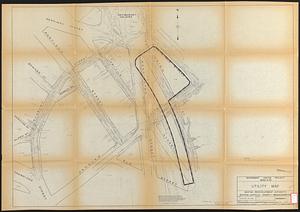
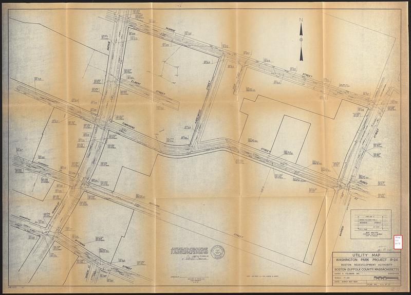
Utility map, Washington Park project r-24
Item Information
- Title:
- Utility map, Washington Park project r-24
- Publisher:
- Boston Redevelopment Authority
- Cartographer:
- Harry R. Feldman, Inc.
- Name on Item:
-
Boston Redevelopment Authority ; Harry R. Feldman, Inc.
- Date:
-
1964
- Format:
-
Maps/Atlases
- Location:
-
Boston Public Library
Central Library in Copley Square - Collection (local):
-
Boston Public Library Collection
- Subjects:
-
Roxbury (Boston, Mass.)--Maps
Underground utility lines--Massachusetts--Boston--Maps
Sewerage--Massachusetts--Boston--Maps
City planning--Massachusetts--Boston--Maps
- Places:
-
Suffolk (county)BostonRoxbury
- Extent:
- 1 map ; 73 x 104 cm
- Terms of Use:
-
No known copyright restrictions.
No known restrictions on use.
- Publisher:
-
Boston :
Boston Redevelopment Authority
- Language:
-
English
- Notes:
-
Depicts utilities (gas, water, electric, sewer) in the Washington Park urban renewal area of Boston's Roxbury neighborhood.
Includes illustration Sub sketch typical M.T.A. wires.
- Identifier:
-
06_01_017341
- Call #:
-
BRA/2478
- Barcode:
-
39999063166929