Toggle navigation
LMEC Home
Exhibitions
Georeferencing
Tools for Teachers
Collections
My Favorites
Sign Up / Log In
Search
Search the map portal
Map Collection
Map Collection
Map Sets
Search
Search
Search for
Search In
All Fields
Creator
Title
Subject
Place
Search All Digital Collections
Advanced Search
8741 Results
My Search
Start Over
More Like
commonwealth:3f463709p
Remove constraint More Like: commonwealth:3f463709p
Filter your Search
Place
North and Central America
6,036
United States
4,958
Massachusetts
2,098
Europe
1,359
Suffolk (county)
1,221
Boston
1,194
Canada
448
Asia
422
more
Place
»
Topic
Boston (Mass.)--Maps
740
United States--Maps
273
Real property--Massachusetts--Boston--Maps
222
Landowners--Massachusetts--Boston--Maps
168
Massachusetts--Maps
163
City planning--Massachusetts--Boston--Maps
158
North America--Maps--Early works to 1800
103
New England--Maps
101
more
Topic
»
Date
Date range begin
–
Date range end
Current results range from
1482
to
2023
View distribution
Creator
United States. Hydrographic Office
594
Boston Redevelopment Authority
163
O.H. Bailey & Co
148
Des Barres, Joseph F. W. (Joseph Frederick Wallet), 1722-1824
124
United States. Post Office Dept
120
Ptolemy, 2nd cent
100
Walling, Henry Francis, 1825-1888
94
Geological Survey (U.S.)
87
more
Creator
»
Format
Maps/Atlases
8,682
Manuscripts
215
Prints
56
Books
36
Objects/Artifacts
10
Drawings/Illustrations
8
Posters
4
Georeferenced
Yes
885
No
7,856
Collection
Norman B. Leventhal Map & Education Center Collection
8,575
Boston and New England Maps
2,327
Urban Maps
2,056
Maritime Charts and Atlases
1,081
American Revolutionary War-Era Maps
638
Boston Redevelopment Authority Collection
193
Massachusetts Real Estate Atlases
38
Mapping Boston Collection
20
more
Collection
»
Available to use
No known restrictions
8,519
Creative Commons license
69
Search Constraints
Sort by relevance
relevance
title
date (asc)
date (desc)
Number of results to display per page
20 per page
10
per page
20
per page
50
per page
100
per page
View results as:
grid view
map view
Search Results
7421.
The siege of Colberg, from 3d. to 31st. October, 1758
7422.
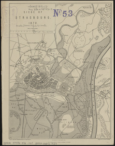
Siege of Strasbourg, 1870
7423.
Siege of Strasbourg, 1870 : enlarged sketch of works
7424.
Siege of Vera Cruz, by the U.S. troops under Major General Scott, in March 1847, from surveys made by Major Turnbull, Captains...
7425.
Siege operations at Spanish Fort, Mobile Bay : by the U.S. forces under Maj. Gen. Canby. Captured by the Army of West Miss. on...
7426.
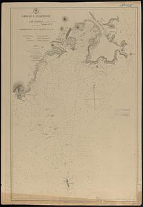
Simoda Harbor, I. of Nippon
7427.
Siskiyou National Forest, Oregon and California
7428.
Site preparation contract for the reconstruction of Copley Square Park, City of Boston, Massachusetts : contract documents
7429.
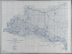
Sitgreaves National Forest, Arizona
7430.
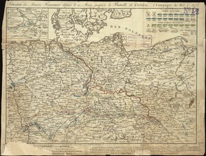
Situation des armées Françaises depuis le 10 mars jusqu'à la bataille de Wurtchen : (Campagne de 1813)
7431.
Situations plan der Englischen Armée vor und um Boston nebst der stellung der Americaner
7432.
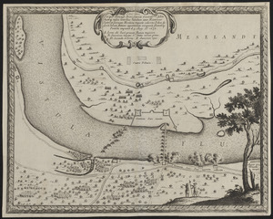
Situs loci in quo Sereniss. Princ. Sueciae General. mus. subito hoste q. inscio lintribus Vistulam inter Montower Spitz et...
7433.
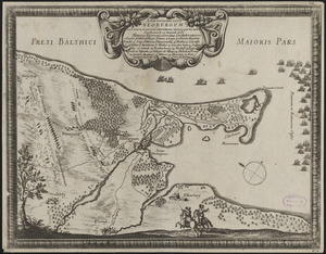
Situs locorum circa Neoburgum in Fionia, et positus exercituum vtriusq: partis, ante conflictum, d. 14. Nouemb. 1659
7434.
Siuslaw National Forest, Oregon
7435.
Skeleton map of rail-roads between Cape Canso and St. Louis
7436.
Skeleton map of the territory of the United States west of the Mississippi River : exhibiting the relations existing between...
7437.
Skeleton map showing the rail roads completed and in progress in the United States and their connection as proposed with the...
7438.
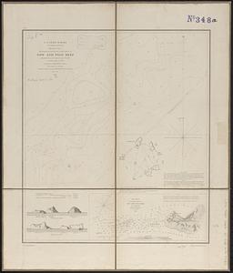
Sketch A no. 5 showing proposed site for a light house on Sow and Pigs Reef
7439.
Sketch map from the Dardanelles to the Bosphorus showing the positions of the British fleet
7440.
Sketch map of New South Wales showing the localities of the principal minerals 1876
‹ Prev
Next ›
1
2
…
368
369
370
371
372
373
374
375
376
…
437
438