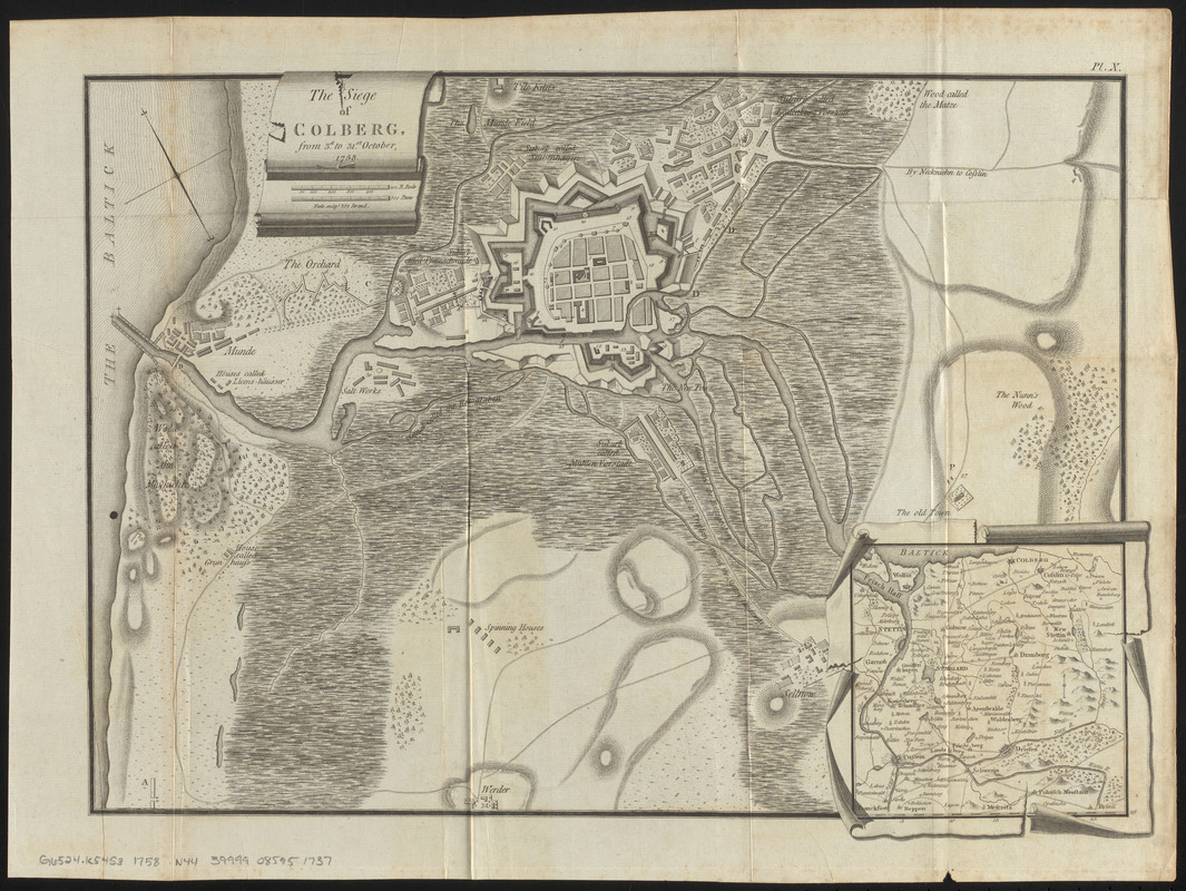
The siege of Colberg, from 3d. to 31st. October, 1758
Item Information
- Title:
- The siege of Colberg, from 3d. to 31st. October, 1758
- Engraver:
- Neele, Samuel John, 1758-1824
- Name on Item:
-
Neele sculpt.
- Date:
-
[ca. 1785–1818]
- Format:
-
Maps/Atlases
- Location:
-
Boston Public Library
Norman B. Leventhal Map & Education Center - Collection (local):
-
Norman B. Leventhal Map & Education Center Collection
- Subjects:
-
Kołobrzeg (Poland)--History--Siege, 1758
Seven Years' War, 1756-1763--Campaigns--Poland
Kołobrzeg (Poland)--Maps
- Places:
-
PolandKołobrzeg
- Extent:
- 1 map ; 31 x 44 cm, on sheet 37 x 49 cm
- Terms of Use:
-
No known copyright restrictions.
No known restrictions on use.
- Publisher:
-
[London?] :
[publisher not identified]
- Scale:
-
Scale approximately 1:9,000
- Language:
-
English
- Notes:
-
Shows troops and fortifications.
Relief shown by hachures.
Oriented with north to the upper left.
Inset: [location map].
In upper right: Pl. X.
Date of publication estimated from engraver's activity.
- Identifier:
-
06_01_016742
- Call #:
-
G6524.K54S3 1758 .N44
- Barcode:
-
39999085951737


