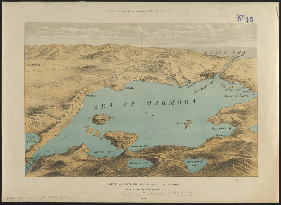
Sketch map from the Dardanelles to the Bosphorus showing the positions of the British fleet
Item Information
- Title:
- Sketch map from the Dardanelles to the Bosphorus showing the positions of the British fleet
- Engraver:
- J. Leitch & Co.
- Name on Item:
-
Leitch Co. eng.
- Date:
-
1878
- Format:
-
Maps/Atlases
- Location:
-
Boston Public Library
Norman B. Leventhal Map & Education Center - Collection (local):
-
Norman B. Leventhal Map & Education Center Collection
- Subjects:
-
Russo-Turkish War, 1877-1878--Aerial views
Marmara, Sea of (Turkey)--Aerial views
- Places:
-
Marmara Denizi
- Extent:
- 1 view : color ; 32 x 49 cm
- Terms of Use:
-
No known copyright restrictions.
No known restrictions on use.
- Publisher:
-
[London] :
Illustrated London Times
- Scale:
-
Not drawn to scale
- Language:
-
English
- Notes:
-
Bird's-eye view showing the British fleet in the Sea of Marmara during the Russo-Turkish war.
Relief shown pictorially.
"Extra supplement to the Illustrated London News, March 9, 1878."
- Identifier:
-
06_01_015202
- Call #:
-
G7431.S55 1878 .S54
- Barcode:
-
39999085932778


