Toggle navigation
LMEC Home
Exhibitions
Georeferencing
Tools for Teachers
Collections
My Favorites
Sign Up / Log In
Search
Search the map portal
Map Collection
Map Collection
Map Sets
Search
Search
Search for
Search In
All Fields
Creator
Title
Subject
Place
Search All Digital Collections
Advanced Search
8741 Results
My Search
Start Over
More Like
commonwealth:3f4633435
Remove constraint More Like: commonwealth:3f4633435
Filter your Search
Place
North and Central America
5,962
United States
4,845
Massachusetts
2,079
Europe
1,396
Suffolk (county)
1,046
Boston
1,019
Canada
449
Asia
438
more
Place
»
Topic
Boston (Mass.)--Maps
586
United States--Maps
283
Real property--Massachusetts--Boston--Maps
175
Massachusetts--Maps
162
Landowners--Massachusetts--Boston--Maps
133
North America--Maps--Early works to 1800
103
New England--Maps
102
North America--Maps
85
more
Topic
»
Date
Date range begin
–
Date range end
Current results range from
1482
to
2023
View distribution
Creator
United States. Hydrographic Office
595
O.H. Bailey & Co
148
Des Barres, Joseph F. W. (Joseph Frederick Wallet), 1722-1824
123
United States. Post Office Dept
120
Ptolemy, 2nd cent
100
Walling, Henry Francis, 1825-1888
94
Jefferys, Thomas, -1771
87
Geological Survey (U.S.)
86
more
Creator
»
Format
Maps/Atlases
8,681
Manuscripts
215
Prints
56
Books
36
Objects/Artifacts
10
Drawings/Illustrations
8
Posters
5
Georeferenced
Yes
872
No
7,869
Collection
Norman B. Leventhal Map & Education Center Collection
8,695
Boston and New England Maps
2,233
Urban Maps
2,023
Maritime Charts and Atlases
1,083
American Revolutionary War-Era Maps
662
Boston Redevelopment Authority Collection
87
Maps from AAS
17
William L. Clements Library Collection
13
more
Collection
»
Available to use
No known restrictions
8,553
Creative Commons license
58
Search Constraints
Sort by relevance
relevance
title
date (asc)
date (desc)
Number of results to display per page
20 per page
10
per page
20
per page
50
per page
100
per page
View results as:
grid view
map view
Search Results
3861.
Map of Portage Co., Ohio
3862.
Map of portion of Osoyoos District : British Columbia
3863.
Map of portion of Osoyoos District, B.C
3864.
Map of portion of Osoyoos District, British Columbia
3865.
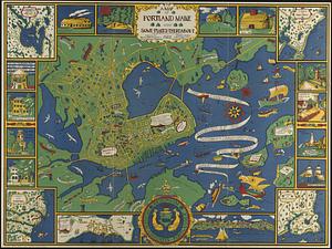
A map of Portland Maine and some places thereabout
3866.
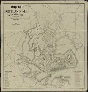
Map of Portland, Me. and vicinity
3867.
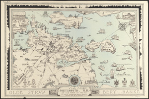
A map of Portsmouth, N.H. : an old town by the sea
3868.
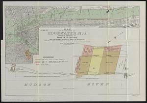
Map of property at Edgewater, N.J.
3869.
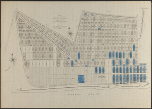
Map of property of the Surf Side Syndicate, Nantucket, Mass.
3870.
Map of proposed arboretum, showing its outlines and local connections, with a study for public drive passing through it
3871.
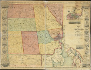
Map of Providence County, Rhode Island, with some of the adjacent towns
3872.
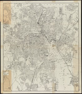
Map of Providence, Rhode Island
3873.
Map of public transportation routes in Greater Boston served by the Massachusetts Bay Transportation Authority comprising 64...
3874.
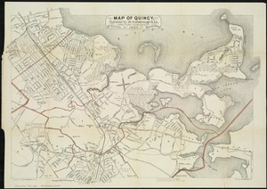
Map of Quincy
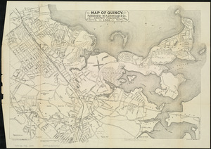
3875.
Map of Quincy
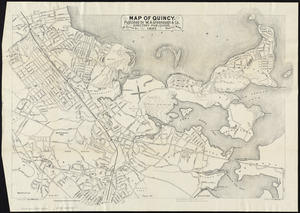
3876.
Map of Quincy
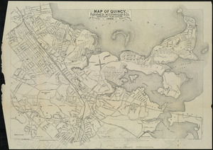
3877.
Map of Quincy
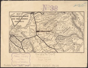
3878.
Map of rail & stage route to Big Tree Groves and Yosemite
3879.
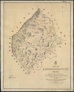
Map of Rappahannock County, Virginia : prepared under the direction of P.S. Michie
3880.
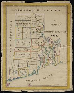
A map of Rhode Island
‹ Prev
Next ›
1
2
…
190
191
192
193
194
195
196
197
198
…
437
438