Toggle navigation
LMEC Home
Exhibitions
Georeferencing
Tools for Teachers
Collections
My Favorites
Sign Up / Log In
Search
Search the map portal
Map Collection
Map Collection
Map Sets
Search
Search
Search for
Search In
All Fields
Creator
Title
Subject
Place
Search All Digital Collections
Advanced Search
8741 Results
My Search
Start Over
More Like
commonwealth:3f4633435
Remove constraint More Like: commonwealth:3f4633435
Filter your Search
Place
North and Central America
5,962
United States
4,845
Massachusetts
2,079
Europe
1,396
Suffolk (county)
1,046
Boston
1,019
Canada
449
Asia
438
more
Place
»
Topic
Boston (Mass.)--Maps
586
United States--Maps
283
Real property--Massachusetts--Boston--Maps
175
Massachusetts--Maps
162
Landowners--Massachusetts--Boston--Maps
133
North America--Maps--Early works to 1800
103
New England--Maps
102
North America--Maps
85
more
Topic
»
Date
Date range begin
–
Date range end
Current results range from
1482
to
2023
View distribution
Creator
United States. Hydrographic Office
595
O.H. Bailey & Co
148
Des Barres, Joseph F. W. (Joseph Frederick Wallet), 1722-1824
123
United States. Post Office Dept
120
Ptolemy, 2nd cent
100
Walling, Henry Francis, 1825-1888
94
Jefferys, Thomas, -1771
87
Geological Survey (U.S.)
86
more
Creator
»
Format
Maps/Atlases
8,681
Manuscripts
215
Prints
56
Books
36
Objects/Artifacts
10
Drawings/Illustrations
8
Posters
5
Georeferenced
Yes
872
No
7,869
Collection
Norman B. Leventhal Map & Education Center Collection
8,695
Boston and New England Maps
2,233
Urban Maps
2,023
Maritime Charts and Atlases
1,083
American Revolutionary War-Era Maps
662
Boston Redevelopment Authority Collection
87
Maps from AAS
17
William L. Clements Library Collection
13
more
Collection
»
Available to use
No known restrictions
8,553
Creative Commons license
58
Search Constraints
Sort by relevance
relevance
title
date (asc)
date (desc)
Number of results to display per page
20 per page
10
per page
20
per page
50
per page
100
per page
View results as:
grid view
map view
Search Results
3641.
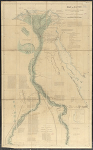
Map of Egypt
3642.
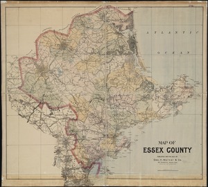
Map of Essex County
3643.
Map of Europe : drawn from all the best surveys and rectified by astronomical observations
3644.
Map of Europe : compiled from the latest authorities
3645.
The map of Europe
3646.
A map of Europe, and the countries bordering on the Mediterranean & Black Seas, from the latest authorities
3647.
Map of Europe showing countries as established by the Peace Conference at Paris
3648.
Map of Everett and vicinity
3649.
Map of existing and proposed open spaces in Massachusetts
3650.
Map of explorations in north western Alaska : under the direction of W.B. Hazen
3651.
Map of farms and lots embraced within the limits of Fairmount Park as appropriated for public use by Act of Assembly, approved...
3652.
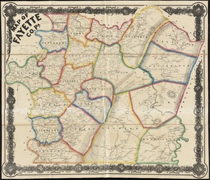
Map of Fayette Co. Pa
3653.
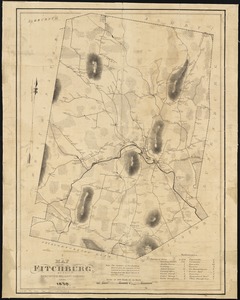
A map of Fitchburg, Mass
3654.
Map of Forest Park, showing [St. Louis]
3655.
Map of Fort Leavenworth, Kansas and vicinity
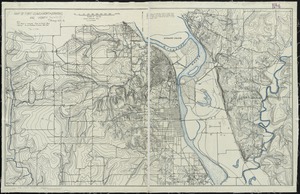
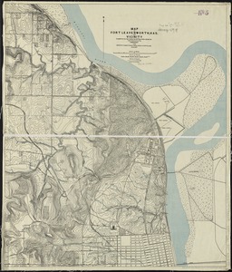
3656.
Map of Fort Leavenworth, Kas. and vicinity
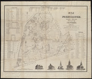
3657.
Map of Foxborough : containing 12806 acres
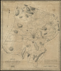
3658.
Map of Framingham : from actual surveys taken by Jonas Clayes & Warren Nixon in the years 1830 and 1831
3659.
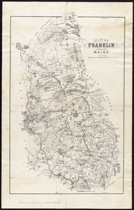
Map of Franklin County, Maine
3660.
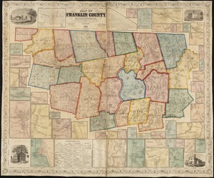
Map of Franklin County, Massachusetts : based upon the trigonometrical survey of the state
‹ Prev
Next ›
1
2
…
179
180
181
182
183
184
185
186
187
…
437
438

![Map of Forest Park, showing [St. Louis]](https://bpldcassets.blob.core.windows.net/derivatives/images/commonwealth:4m90fb114/image_thumbnail_300.jpg)