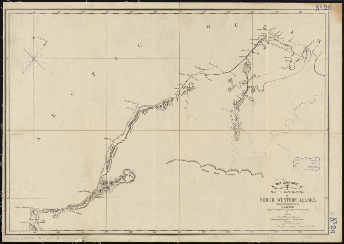
Map of explorations in north western Alaska : under the direction of W.B. Hazen
Item Information
- Title:
- Map of explorations in north western Alaska : under the direction of W.B. Hazen
- Creator:
- Ray, P. H. (Patrick Henry), 1842-1911
- Name on Item:
-
by P.H. Ray, 1st Lieut. 8th Infantry, U.S. Army, commanding expedition to Pt. Barrow, Alaska, 1881-1883.
- Date:
-
[1883]
- Format:
-
Maps/Atlases
- Location:
-
Boston Public Library
Norman B. Leventhal Map & Education Center - Collection (local):
-
Norman B. Leventhal Map & Education Center Collection
- Subjects:
-
North Slope (Alaska)--Discovery and exploration--Maps
Alaska--Discovery and exploration--Maps
- Places:
-
Alaska
AlaskaNorth Slope (area)
- Extent:
- 1 map ; 46 x 67 cm.
- Terms of Use:
-
No known copyright restrictions.
No known restrictions on use.
- Publisher:
-
[Washington, D.C.] :
War Dept., Signal Service
- Scale:
-
Scale [ca. 1:760,000]
- Language:
-
English
- Notes:
-
Shows Cape Dyer to Point Cape Simpson.
Shows routes of 1881-1883 Army expedition.
Relief shown by hachures.
- Notes (date):
-
This date is inferred.
- Identifier:
-
06_01_011373
- Call #:
-
G4372.N55S12 1883 .R39
- Barcode:
-
39999065684498


