Toggle navigation
LMEC Home
Exhibitions
Georeferencing
Tools for Teachers
Collections
My Favorites
Sign Up / Log In
Search
Search the map portal
Map Collection
Map Collection
Map Sets
Search
Search
Search for
Search In
All Fields
Creator
Title
Subject
Place
Search All Digital Collections
Advanced Search
8774 Results
My Search
Start Over
More Like
commonwealth:3f462x693
Remove constraint More Like: commonwealth:3f462x693
Filter your Search
Place
North and Central America
5,987
United States
4,890
Massachusetts
2,079
Europe
1,396
Suffolk (county)
1,046
Boston
1,019
Canada
498
Asia
438
more
Place
»
Topic
Boston (Mass.)--Maps
586
United States--Maps
282
Real property--Massachusetts--Boston--Maps
175
Massachusetts--Maps
162
Landowners--Massachusetts--Boston--Maps
133
North America--Maps--Early works to 1800
108
New England--Maps
102
Canada--Maps--Early works to 1800
79
more
Topic
»
Date
Date range begin
–
Date range end
Current results range from
1482
to
2023
View distribution
Creator
United States. Hydrographic Office
595
O.H. Bailey & Co
148
Des Barres, Joseph F. W. (Joseph Frederick Wallet), 1722-1824
123
United States. Post Office Dept
120
Ptolemy, 2nd cent
100
Walling, Henry Francis, 1825-1888
94
Jefferys, Thomas, -1771
88
Geological Survey (U.S.)
86
more
Creator
»
Format
Maps/Atlases
8,714
Manuscripts
217
Prints
56
Books
36
Objects/Artifacts
10
Drawings/Illustrations
8
Posters
5
Georeferenced
Yes
869
No
7,905
Collection
Norman B. Leventhal Map & Education Center Collection
8,694
Boston and New England Maps
2,233
Urban Maps
2,023
Maritime Charts and Atlases
1,083
American Revolutionary War-Era Maps
694
Boston Redevelopment Authority Collection
87
MacLean Collection Map Library
40
Richard H. Brown Revolutionary War Map Collection at Mount Vernon
12
more
Collection
»
Available to use
No known restrictions
8,556
Creative Commons license
71
Search Constraints
Sort by relevance
relevance
title
date (asc)
date (desc)
Number of results to display per page
20 per page
10
per page
20
per page
50
per page
100
per page
View results as:
grid view
map view
Search Results
121.
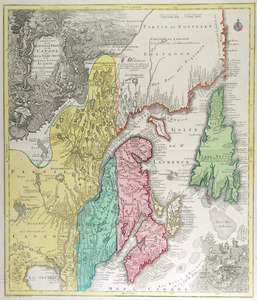
Partie orientale de la Nouvelle France ou du Canada : avec l'isle de Terre-Neuve et de Nouvelle Escosse, Acadie et Nouv....
122.
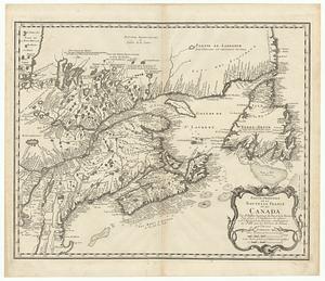
Partie orientale de la Nouvelle France ou du Canada
123.
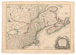
Partie septentrionale des possessions angloise en Amerique
124.
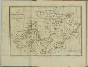
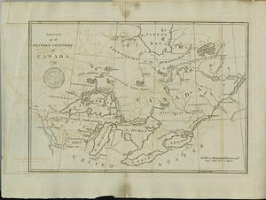
Sketch of the western countries of Canada
125.
Sketch of the western countries of Canada
126.
Die Vereinigten Staaten von Nord=America
127.
Virginia et Nova Francia
128.
The 100th anniversary map of Abraham Lincoln's visit to Massachusetts, September 11-23, 1848
129.
1630 shoreline
130.
1879. Progress map of the U.S. Geographical Surveys west of the 100th Meridian : prepared under the direction of 1st Lieut....
131.
1903 Map of Salem and surrounding places
132.
19th annual convention of the National Association of Real Estate Boards : at Tulsa, June 7 to June 11 in 1926
133.
2005 significant U.S. hurricane strikes
134.
The 2100 project : an atlas for the Green New Deal
135.
227 Harzgerode
136.
305 Glatz
137.
38,000,000 escaped -- 10,000,000 died
138.
4 Kinten
139.
660 Wakulah St., Roxbury
140.
74 miles on the ocean scenic highway U.S. 1
‹ Prev
Next ›
1
2
3
4
5
6
7
8
9
10
11
…
438
439