Toggle navigation
LMEC Home
Exhibitions
Georeferencing
Tools for Teachers
Collections
My Favorites
Sign Up / Log In
Search
Search the map portal
Map Collection
Map Collection
Map Sets
Search
Search
Search for
Search In
All Fields
Creator
Title
Subject
Place
Search All Digital Collections
Advanced Search
8672 Results
My Search
Start Over
More Like
commonwealth:2514p1427
Remove constraint More Like: commonwealth:2514p1427
Filter your Search
Place
North and Central America
5,887
United States
4,805
Massachusetts
2,068
Europe
1,392
Suffolk (county)
1,041
Boston
1,014
Canada
449
Asia
438
more
Place
»
Topic
Boston (Mass.)--Maps
582
United States--Maps
279
Real property--Massachusetts--Boston--Maps
175
Massachusetts--Maps
161
Landowners--Massachusetts--Boston--Maps
133
North America--Maps--Early works to 1800
104
New England--Maps
101
Europe--Maps
79
more
Topic
»
Date
Date range begin
–
Date range end
Current results range from
1482
to
2023
View distribution
Creator
United States. Hydrographic Office
595
O.H. Bailey & Co
148
Des Barres, Joseph F. W. (Joseph Frederick Wallet), 1722-1824
123
United States. Post Office Dept
120
Ptolemy, 2nd cent
100
Walling, Henry Francis, 1825-1888
94
Geological Survey (U.S.)
86
Jefferys, Thomas, -1771
86
more
Creator
»
Format
Maps/Atlases
8,612
Manuscripts
215
Prints
56
Books
36
Objects/Artifacts
10
Drawings/Illustrations
8
Posters
5
Georeferenced
Yes
868
No
7,804
Collection
Norman B. Leventhal Map & Education Center Collection
8,649
Boston and New England Maps
2,221
Urban Maps
1,992
Maritime Charts and Atlases
1,083
American Revolutionary War-Era Maps
628
Boston Redevelopment Authority Collection
87
Sidney R. Knafel Map Collection at Phillips Academy
10
MacLean Collection Map Library
6
more
Collection
»
Available to use
No known restrictions
8,504
Creative Commons license
57
Search Constraints
Sort by relevance
relevance
title
date (asc)
date (desc)
Number of results to display per page
20 per page
10
per page
20
per page
50
per page
100
per page
View results as:
grid view
map view
Search Results
81.
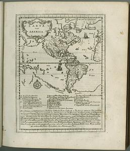
Carte von America
82.
A chart of North and South America, including the Atlantic and Pacific Oceans, with the nearest coasts of Europe, Africa and Asia
83.
Maris Pacifici (quod vulgo Mar del Zur) cum regionibus circumiacentibus, insulisque in eodem passim sparsis, novissima descriptio
84.
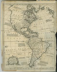
A new and accurate map of America, drawn from the most approv'd maps & charts
85.
Oceani occidetalis seu terre nove tabula
86.
Tipus orbis uniuersalis iuxta Ptolomei cosmographi traditionem et Americi Vespucii alior[um]que
87.
Tipus orbis uniuersalis iuxta Ptolomei cosmographi traditionem et Americi Vespucii alior[um]que
88.
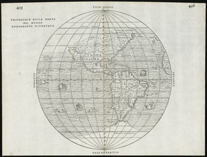
Universale della parte del mondo nuovamente ritrovata
89.
The 100th anniversary map of Abraham Lincoln's visit to Massachusetts, September 11-23, 1848
90.
1630 shoreline
91.
1879. Progress map of the U.S. Geographical Surveys west of the 100th Meridian : prepared under the direction of 1st Lieut....
92.
1903 Map of Salem and surrounding places
93.
19th annual convention of the National Association of Real Estate Boards : at Tulsa, June 7 to June 11 in 1926
94.
2005 significant U.S. hurricane strikes
95.
The 2100 project : an atlas for the Green New Deal
96.
227 Harzgerode
97.
305 Glatz
98.
38,000,000 escaped -- 10,000,000 died
99.
4 Kinten
100.
660 Wakulah St., Roxbury
‹ Prev
Next ›
1
2
3
4
5
6
7
8
9
…
433
434


![Tipus orbis uniuersalis iuxta Ptolomei cosmographi traditionem et Americi Vespucii alior[um]que](https://bpldcassets.blob.core.windows.net/derivatives/images/commonwealth:j3860806q/image_thumbnail_300.jpg)
![Tipus orbis uniuersalis iuxta Ptolomei cosmographi traditionem et Americi Vespucii alior[um]que](https://bpldcassets.blob.core.windows.net/derivatives/images/commonwealth:3f463b65n/image_thumbnail_300.jpg)