Toggle navigation
LMEC Home
Exhibitions
Georeferencing
Tools for Teachers
Collections
My Favorites
Sign Up / Log In
Search
Search the map portal
Map Collection
Map Collection
Map Sets
Search
Search
Search for
Search In
All Fields
Creator
Title
Subject
Place
Search All Digital Collections
Advanced Search
8898 Results
My Search
Start Over
More Like
commonwealth:1257bw59f
Remove constraint More Like: commonwealth:1257bw59f
Filter your Search
Place
North and Central America
6,142
United States
5,060
Massachusetts
2,124
Europe
1,388
Suffolk (county)
1,294
Boston
1,267
Canada
449
Asia
436
more
Place
»
Topic
Boston (Mass.)--Maps
747
United States--Maps
279
Real property--Massachusetts--Boston--Maps
254
City planning--Massachusetts--Boston--Maps
217
Landowners--Massachusetts--Boston--Maps
170
Massachusetts--Maps
165
Urban renewal--Massachusetts--Boston--Maps
124
New England--Maps
103
more
Topic
»
Date
Date range begin
–
Date range end
Current results range from
1482
to
2023
View distribution
Creator
United States. Hydrographic Office
595
Boston Redevelopment Authority
222
O.H. Bailey & Co
148
Des Barres, Joseph F. W. (Joseph Frederick Wallet), 1722-1824
124
United States. Post Office Dept
120
Ptolemy, 2nd cent
100
Walling, Henry Francis, 1825-1888
94
Geological Survey (U.S.)
87
more
Creator
»
Format
Maps/Atlases
8,839
Manuscripts
215
Prints
56
Books
36
Objects/Artifacts
10
Drawings/Illustrations
8
Posters
4
Georeferenced
Yes
885
No
8,013
Collection
Norman B. Leventhal Map & Education Center Collection
8,669
Boston and New England Maps
2,411
Urban Maps
2,170
Maritime Charts and Atlases
1,083
American Revolutionary War-Era Maps
638
Boston Redevelopment Authority Collection
256
Massachusetts Real Estate Atlases
38
Mapping Boston Collection
20
more
Collection
»
Available to use
No known restrictions
8,675
Creative Commons license
70
Search Constraints
Sort by relevance
relevance
title
date (asc)
date (desc)
Number of results to display per page
20 per page
10
per page
20
per page
50
per page
100
per page
View results as:
grid view
map view
Search Results
3201.
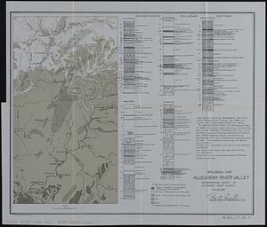
Geological map Allegheny River Valley accompanying report of Allegheny River survey Nov. 25, 1898
3202.
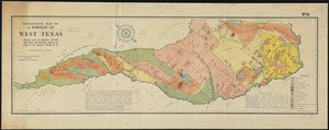
Geological map of a portion of West Texas : showing parts of Brewster, Presidio, Jeff. Davis, and El Paso counties, and south...
3203.
Geological map of Essex County, Massachusetts
3204.
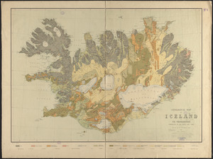
Geological map of Iceland
3205.
Geological map of Indiana, showing location of stone quarries and natural gas and oil areas
3206.
Geological map of Massachusetts
3207.
A geological map of Ohio
3208.
Geological map of part of Jamaica
3209.
Geological map of portions of Hastings, Haliburton and Peterborough Counties, Province of Ontario : (Bancroft map)
3210.
Geological map of south-west Pennsylvania, with special reference to the Pittsburgh coal bed
3211.
Geological map of Tennessee
3212.
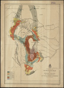
A geological map of the Black Hills
3213.
Geological map of the Mother Lode region
3214.
Geological map of the region in the vicinity of the Bow and Belly Rivers : embracing the southern portion of the District of...
3215.
Geological map of the state of Tennessee
3216.
Geological map of the United States
3217.
Geological map of the White Mountains, New Hampshire
3218.
Geologische karte von Deutschland
3219.
Geologische Schetskaart van Nederlandsch Oost-Indie
3220.
Geometrica delineatio munitionis, Dantziger Hoeft : uti illud a Gedanensibus et eorum Faederatis d. 2 Octob. obsideri caeptum,...
‹ Prev
Next ›
1
2
…
157
158
159
160
161
162
163
164
165
…
444
445