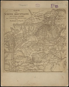
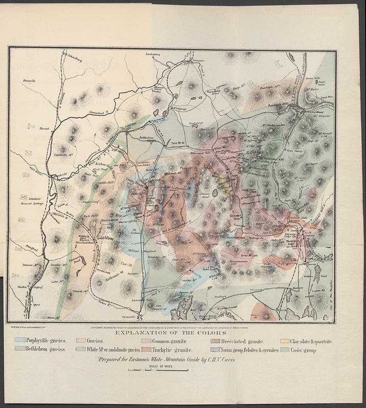
Geological map of the White Mountains, New Hampshire
Item Information
- Title:
- Geological map of the White Mountains, New Hampshire
- Cartographer:
- Cavis, Charles H. V.
- Contributor:
- New Hampshire. Geological and Mineralogical Survey
- Contributor:
- Hitchcock, Charles H. (Charles Henry), 1836-1919
- Name on Item:
-
prepared for Eastman's White Mountain guide by C.H.V. Cavis
- Date:
-
1872
- Format:
-
Maps/Atlases
- Location:
-
Boston Public Library
Norman B. Leventhal Map & Education Center - Collection (local):
-
Norman B. Leventhal Map & Education Center Collection
- Subjects:
-
Geology--White Mountains (N.H. and Me.)--Maps
White Mountains (N.H. and Me.)--Maps
- Places:
-
New HampshireCoos (county)White Mountains (area)
- Extent:
- 1 map : color ; 23 x 27 cm, folded in volume 23 cm
- Terms of Use:
-
No known copyright restrictions.
No known restrictions on use.
- Publisher:
-
Nashua :
Orren C. Moore, State printer
- Scale:
-
Scale approximately 1:315,000
- Language:
-
English
- Notes:
-
In: Report of the Geological Survey of the state of New Hampshire, showing its progress during the year 1871 / by C.H. Hitchcock.
Relief shown by hachures.
- Identifier:
-
06_01_018334
- Call #:
-
QE139 .A36 1871
- Barcode:
-
30000007762777