Toggle navigation
LMEC Home
Exhibitions
Georeferencing
Tools for Teachers
Collections
My Favorites
Sign Up / Log In
Search
Search the map portal
Map Collection
Map Collection
Map Sets
Search
Search
Search for
Search In
All Fields
Creator
Title
Subject
Place
Search All Digital Collections
Advanced Search
8776 Results
My Search
Start Over
More Like
commonwealth:1257bb615
Remove constraint More Like: commonwealth:1257bb615
Filter your Search
Place
North and Central America
6,007
United States
4,924
Massachusetts
2,089
Europe
1,396
Suffolk (county)
1,126
Boston
1,099
Canada
449
Asia
438
more
Place
»
Topic
Boston (Mass.)--Maps
607
United States--Maps
282
Real property--Massachusetts--Boston--Maps
253
Landowners--Massachusetts--Boston--Maps
170
Massachusetts--Maps
163
City planning--Massachusetts--Boston--Maps
110
North America--Maps--Early works to 1800
103
New England--Maps
102
more
Topic
»
Date
Date range begin
–
Date range end
Current results range from
1482
to
2023
View distribution
Creator
United States. Hydrographic Office
595
O.H. Bailey & Co
148
Des Barres, Joseph F. W. (Joseph Frederick Wallet), 1722-1824
123
United States. Post Office Dept
120
Boston Redevelopment Authority
111
Ptolemy, 2nd cent
100
Walling, Henry Francis, 1825-1888
94
Geological Survey (U.S.)
87
more
Creator
»
Format
Maps/Atlases
8,716
Manuscripts
215
Prints
56
Books
36
Objects/Artifacts
10
Drawings/Illustrations
8
Posters
5
Georeferenced
Yes
869
No
7,907
Collection
Norman B. Leventhal Map & Education Center Collection
8,695
Boston and New England Maps
2,278
Urban Maps
2,068
Maritime Charts and Atlases
1,083
American Revolutionary War-Era Maps
616
Boston Redevelopment Authority Collection
132
Massachusetts Real Estate Atlases
36
Applied Geographics, Inc. Records
1
Available to use
No known restrictions
8,598
Creative Commons license
47
Search Constraints
Sort by relevance
relevance
title
date (asc)
date (desc)
Number of results to display per page
20 per page
10
per page
20
per page
50
per page
100
per page
View results as:
grid view
map view
Search Results
4641.
A map of the world : corrected from the observations communicated to the Royal Societys of London and Paris
4642.
Map of the world
4643.
A map of the world from the best authorities
4644.
A map of the world from the best authorities
4645.
A map of the world on a globular projection : exhibiting particularly the nautical researches of Captain James Cook, F.R.S. :...
4646.
[Map of the world on a polyconic projection]
4647.
Map of the world, on Mercator's projection
4648.
Map of the world on Mercator's projection, to show the populations and actual areas occupied by the various states represented...
4649.
Map of the world, shewing the tracks & discoveries of Captn. Cook
4650.
A map of the Yearly Meeting of Friends for New England : 1850
4651.
A map of the yearly meeting of Friends for New England A.D. 1833
4652.
Map of the Yellowstone and Missouri Rivers and their tributaries : explored by Capt. W.F. Raynolds, Topl. Engrs., and 1st...
4653.
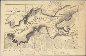
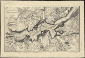
Map of the Yosemite Valley
4654.
Map of the Yosemite Valley : from surveys made by order of the Commissioners to manage the Yosemite Valley and Mariposa Big...
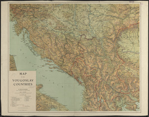
4655.
Map of the Yougoslav countries
4656.
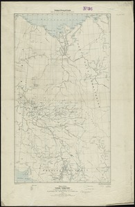
Map of the Yukon Territory to illustrate the summary reports of R.G. McConnell, B.A., Jos. Keele, B.A., and C. Camsell, B.A
4657.
A map of those countries in which the apostles travelled : in propagating Christianity
4658.
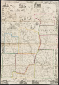
Map of Tioga County, New York : from actual surveys
4659.
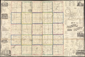
Map of Trumbull County, Ohio
4660.
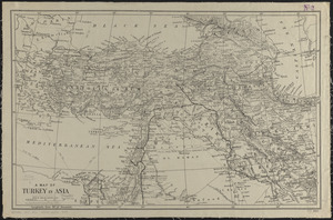
A map of Turkey in Asia
‹ Prev
Next ›
1
2
…
229
230
231
232
233
234
235
236
237
…
438
439


![[Map of the world on a polyconic projection]](https://bpldcassets.blob.core.windows.net/derivatives/images/commonwealth:x633f979b/image_thumbnail_300.jpg)