Toggle navigation
LMEC Home
Exhibitions
Georeferencing
Tools for Teachers
Collections
My Favorites
Sign Up / Log In
Search
Search the map portal
Map Collection
Map Collection
Map Sets
Search
Search
Search for
Search In
All Fields
Creator
Title
Subject
Place
Search All Digital Collections
Advanced Search
8591 Results
My Search
Start Over
More Like
commonwealth:0r96fm164
Remove constraint More Like: commonwealth:0r96fm164
Date facet yearly ssim
Unknown
Remove constraint Date facet yearly ssim: Unknown
Filter your Search
Place
North and Central America
5,877
United States
4,806
Massachusetts
2,052
Europe
1,359
Suffolk (county)
1,034
Boston
1,007
Canada
462
Asia
422
more
Place
»
Topic
Boston (Mass.)--Maps
577
United States--Maps
314
Real property--Massachusetts--Boston--Maps
174
Massachusetts--Maps
160
Landowners--Massachusetts--Boston--Maps
132
North America--Maps--Early works to 1800
103
New England--Maps
99
Europe--Maps
78
more
Topic
»
Date
Date range begin
–
Date range end
Current results range from
1482
to
2023
View distribution
Creator
United States. Hydrographic Office
594
O.H. Bailey & Co
148
Des Barres, Joseph F. W. (Joseph Frederick Wallet), 1722-1824
123
United States. Post Office Dept
120
Ptolemy, 2nd cent
100
Walling, Henry Francis, 1825-1888
94
Geological Survey (U.S.)
87
Jefferys, Thomas, -1771
85
more
Creator
»
Format
Maps/Atlases
8,532
Manuscripts
215
Prints
56
Books
36
Objects/Artifacts
10
Drawings/Illustrations
8
Posters
4
Georeferenced
Yes
871
No
7,720
Collection
Norman B. Leventhal Map & Education Center Collection
8,554
Boston and New England Maps
2,204
Urban Maps
1,936
Maritime Charts and Atlases
1,081
American Revolutionary War-Era Maps
651
Boston Redevelopment Authority Collection
87
American Antiquarian Society Collection
20
William L. Clements Library Collection
13
more
Collection
»
Available to use
No known restrictions
8,411
Creative Commons license
49
Search Constraints
Sort by relevance
relevance
title
date (asc)
date (desc)
Number of results to display per page
20 per page
10
per page
20
per page
50
per page
100
per page
View results as:
grid view
map view
Search Results
301.
Partie de l'Amerique Septentrionale, : qui comprend le cours de l'Ohio, la Nlle. Angleterre, la Nlle. York, le New Jersey, la...
302.
Partie occidentale du Canada, : contenant les cinq Grands Lacs, avec les pays circonvoisins
303.
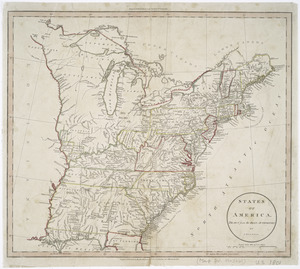
States of America, drawn from the best authorities
304.
The United States according to the definitive treaty of peace signed at Paris, Septr. 3d, 1783
305.
The United States according to the definitive treaty of peace signed at Paris, Septr. 3d. 1783 ...
306.
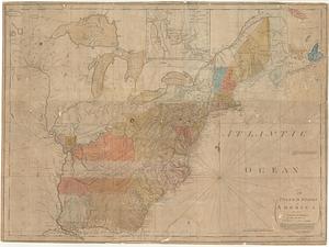
United States of America
307.
The United States of America
308.
The United States of America : laid down from the best authorities agreeable to the peace of 1783. : This map and chart is...
309.
United States of America
310.
The United States of America circa 1900
311.
The United States of America laid down from the best authorities, agreeable to the peace of 1783
312.
The United States of America laid down from the best authorities agreeable to the peace of 1783 : this map and chart is neither...
313.
The United States of America with the British possessions of Canada, Nova Scotia, New Brunwsick, and Newfoundland, divided with...
314.
The United States of North America with the British & Spanish territories according to the treaty
315.
The 100th anniversary map of Abraham Lincoln's visit to Massachusetts, September 11-23, 1848
316.
1630 shoreline
317.
1879. Progress map of the U.S. Geographical Surveys west of the 100th Meridian : prepared under the direction of 1st Lieut....
318.
1903 Map of Salem and surrounding places
319.
227 Harzgerode
320.
305 Glatz
‹ Prev
Next ›
1
2
…
12
13
14
15
16
17
18
19
20
…
429
430