Toggle navigation
LMEC Home
Exhibitions
Georeferencing
Tools for Teachers
Collections
My Favorites
Sign Up / Log In
Search
Search the map portal
Map Collection
Map Collection
Map Sets
Search
Search
Search for
Search In
All Fields
Creator
Title
Subject
Place
Search All Digital Collections
Advanced Search
8552 Results
My Search
Start Over
More Like
commonwealth:cj82kt31g
Remove constraint More Like: commonwealth:cj82kt31g
Available to use
No known restrictions
Remove constraint Available to use: No known restrictions
Filter your Search
Place
North and Central America
5,811
United States
4,730
Massachusetts
2,041
Europe
1,393
Suffolk (county)
1,019
Boston
993
Canada
449
Asia
425
more
Place
»
Topic
Boston (Mass.)--Maps
574
United States--Maps
209
Real property--Massachusetts--Boston--Maps
173
Massachusetts--Maps
154
Landowners--Massachusetts--Boston--Maps
132
North America--Maps--Early works to 1800
103
New England--Maps
102
Europe--Maps
79
more
Topic
»
Date
Date range begin
–
Date range end
Current results range from
1482
to
2022
1482 : 2023
1482
2023
View distribution
Creator
United States. Hydrographic Office
595
O.H. Bailey & Co
148
Des Barres, Joseph F. W. (Joseph Frederick Wallet), 1722-1824
123
United States. Post Office Dept
120
Ptolemy, 2nd cent
100
Walling, Henry Francis, 1825-1888
94
Geological Survey (U.S.)
86
Jefferys, Thomas, -1771
84
more
Creator
»
Format
Maps/Atlases
8,492
Manuscripts
215
Prints
56
Books
35
Objects/Artifacts
10
Drawings/Illustrations
8
Posters
5
Georeferenced
Yes
836
No
7,716
Collection
Norman B. Leventhal Map & Education Center Collection
8,552
Boston and New England Maps
2,197
Urban Maps
2,008
Maritime Charts and Atlases
1,082
American Revolutionary War-Era Maps
614
Boston Redevelopment Authority Collection
87
Available to use
No known restrictions
[remove]
8,552
Search Constraints
Sort by relevance
relevance
title
date (asc)
date (desc)
Number of results to display per page
20 per page
10
per page
20
per page
50
per page
100
per page
View results as:
grid view
map view
Search Results
1.
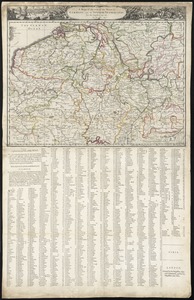
Foederatae Belgicae tabula : in multis locis emendata et in lucem
2.
Hollandia comitatus
3.
Hollandiae pars septentrionalis, vulgo Westuriesland et 't Noorder Quartier
4.
Hollandiae septentrionalis & Frisiae occidentalis accuratissima delineatio
5.
A mapp of the seat of the warrs in Germany and the Spanish Netherlands, for His Majesties own use
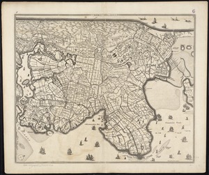
6.
Noordt Hollandt
7.
Les provinces des Pays-Bas Catholiques ou A most exact map of Flanders or ye Austrian Netherlands &c : it comprehends all the...
8.
Rhenolandiae et Amstellandiae exactissima tabula
9.
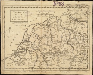
The seat of war in the circle of Westphalia
10.
The Seven United Provinces of Netherland : with its circumjacent borders
11.
The 100th anniversary map of Abraham Lincoln's visit to Massachusetts, September 11-23, 1848
12.
1630 shoreline
13.
1879. Progress map of the U.S. Geographical Surveys west of the 100th Meridian : prepared under the direction of 1st Lieut....
14.
1903 Map of Salem and surrounding places
15.
19th annual convention of the National Association of Real Estate Boards : at Tulsa, June 7 to June 11 in 1926
16.
2005 significant U.S. hurricane strikes
17.
227 Harzgerode
18.
305 Glatz
19.
38,000,000 escaped -- 10,000,000 died
20.
4 Kinten
‹ Prev
Next ›
1
2
3
4
5
…
427
428