Toggle navigation
LMEC Home
Exhibitions
Georeferencing
Tools for Teachers
Collections
My Favorites
Sign Up / Log In
Search
Search the map portal
Map Collection
Map Collection
Map Sets
Search
Search
Search for
Search In
All Fields
Creator
Title
Subject
Place
Search All Digital Collections
Advanced Search
21 Results
My Search
Start Over
More Like
commonwealth:q524mv18j
Remove constraint More Like: commonwealth:q524mv18j
Creator
Des Barres, Joseph F. W. (Joseph Frederick Wallet), 1722-1824
Remove constraint Creator: Des Barres, Joseph F. W. (Joseph Frederick Wallet), 1722-1824
Filter your Search
Place
North and Central America
21
United States
13
Suffolk (county)
4
Georgia
3
New York
3
Rockingham (county)
3
Boston
2
Delaware River
2
more
Place
»
Topic
Georgia--Maps--Early works to 1800
3
Delaware River (N.Y.-Del. and N.J.)--Maps--Early works to 1800
2
Nautical charts--Delaware River (N.Y.-Del. and N.J.)--Early works to 1800
2
New Castle (N.H.)--Pictorial works--Early works to 1800
2
New Hampshire--History--Revolution, 1775-1783--Pictorial works--Early works to 1800
2
New York Harbor (N.Y. and N.J.)--Pictorial works--Early works to 1800
2
Atlantic Coast (U.S.)
1
Boston (Mass.)--Pictorial works--Early works to 1800
1
more
Topic
»
Date
Date range begin
–
Date range end
Current results range from
1775
to
1781
1775 : 1782
1775
1782
View distribution
Creator
Des Barres, Joseph F. W. (Joseph Frederick Wallet), 1722-1824
[remove]
21
Avery, Joseph, hydrographer
1
Gauld, George
1
Hamond, Andrew Snape, Sir, 1738-1828
1
Holland, Samuel, 1728-1801
1
Howe, William Howe, Viscount, 1729-1814
1
Hunter, John, 1737-1821
1
Knight, John
1
more
Creator
»
Format
Maps/Atlases
10
Prints
9
Books
2
Georeferenced
No
21
Collection
American Revolutionary War-Era Maps
21
Richard H. Brown Revolutionary War Map Collection at Mount Vernon
21
Available to use
Creative Commons license
21
Search Constraints
Sort by relevance
relevance
title
date (asc)
date (desc)
Number of results to display per page
20 per page
10
per page
20
per page
50
per page
100
per page
View results as:
grid view
map view
Search Results
1.
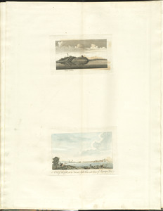
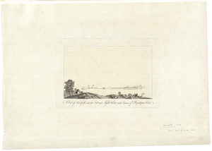
Castle William : A view of New Castle with the Fort and light house on the entrance of the Pisquataqua River
2.
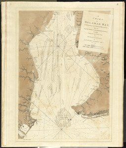
A chart of Delawar Bay, with soundings and nautical observations
3.
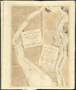
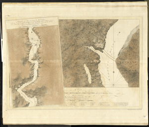
A chart of Delawar River from Bombay Hook to Ridley Creek, with soundings &c taken by Lt. Knight of the Navy
4.
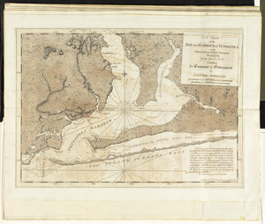
A chart of the bay and harbour of Pensacola in the Province of West Florida
5.
[Chart of the coast of Georgia]
6.
[Chart of the coast of Georgia]
7.
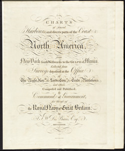
Charts of several harbours, and divers parts of the coast of North America, from New York south westwards to the Gulph of Mexico
8.
A front view of the lines taken from the advanced post near Browns house : A view of the harbour of Boston taken from Fort Hill...
9.
The harbour and part of the town of Havannah : The entrance of Havannah, from within the harbour
10.
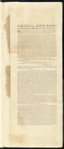
Nautical directions to sail into the harbour of New-York, &c.
11.
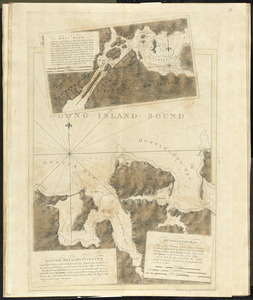
Oyster Bay and Huntington : Huntington Bay
12.
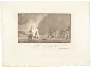
The Phoenix and the Rose engaged by the enemy's fire ships and galleys on the 16 Augst. 1776
13.
A plan of Fort Montgomery & Fort Clinton, taken by His Majesty's forces, under the command of Maj. Genl. Sir Henry Clinton, K:B
14.
Port de Rhode Island et Narraganset Baye : publié à la requête du Vicomte Howe par le Chevalier des Barres ; traduit de...
15.
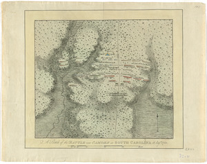
A sketch of the battle near Camden in South Carolina, 16 Augst. 1780
16.
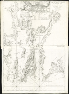
[The coasts, rivers and inlets of the province of Georgia]
17.
A view of Boston from Dorchester neck : Long Island open on the north side of Nicks Mate Island ; Boston from Willis Creek
18.
A view of New Castle with the fort and light house on the entrance of Piscataqua River
19.
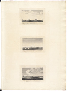
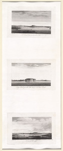
[View of Portsmouth, N.H.]
20.
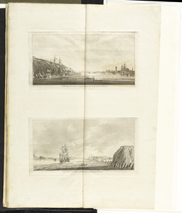
[Views of the entrance to New York Harbor]
‹ Prev
Next ›
1
2
![[Chart of the coast of Georgia]](https://bpldcassets.blob.core.windows.net/derivatives/images/commonwealth:z603vv33t/image_thumbnail_300.jpg)
![[Chart of the coast of Georgia]](https://bpldcassets.blob.core.windows.net/derivatives/images/commonwealth:z603vv35c/image_thumbnail_300.jpg)
![[The coasts, rivers and inlets of the province of Georgia]](https://bpldcassets.blob.core.windows.net/derivatives/images/commonwealth:z603vv37x/image_thumbnail_300.jpg)
![[View of Portsmouth, N.H.]](https://bpldcassets.blob.core.windows.net/derivatives/images/commonwealth:dz010v19c/image_thumbnail_300.jpg)
![[Views of the entrance to New York Harbor]](https://bpldcassets.blob.core.windows.net/derivatives/images/commonwealth:dz010v158/image_thumbnail_300.jpg)